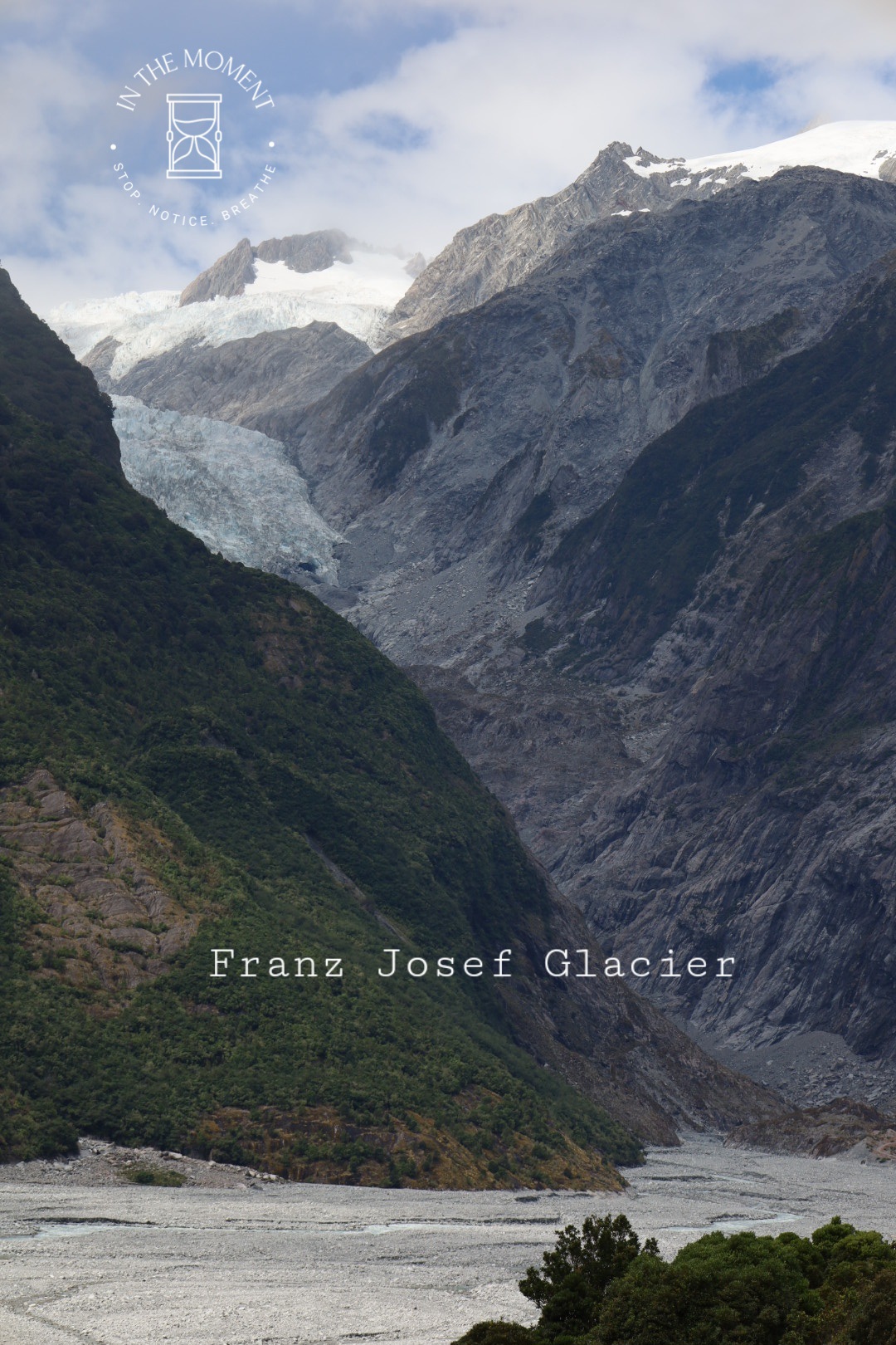
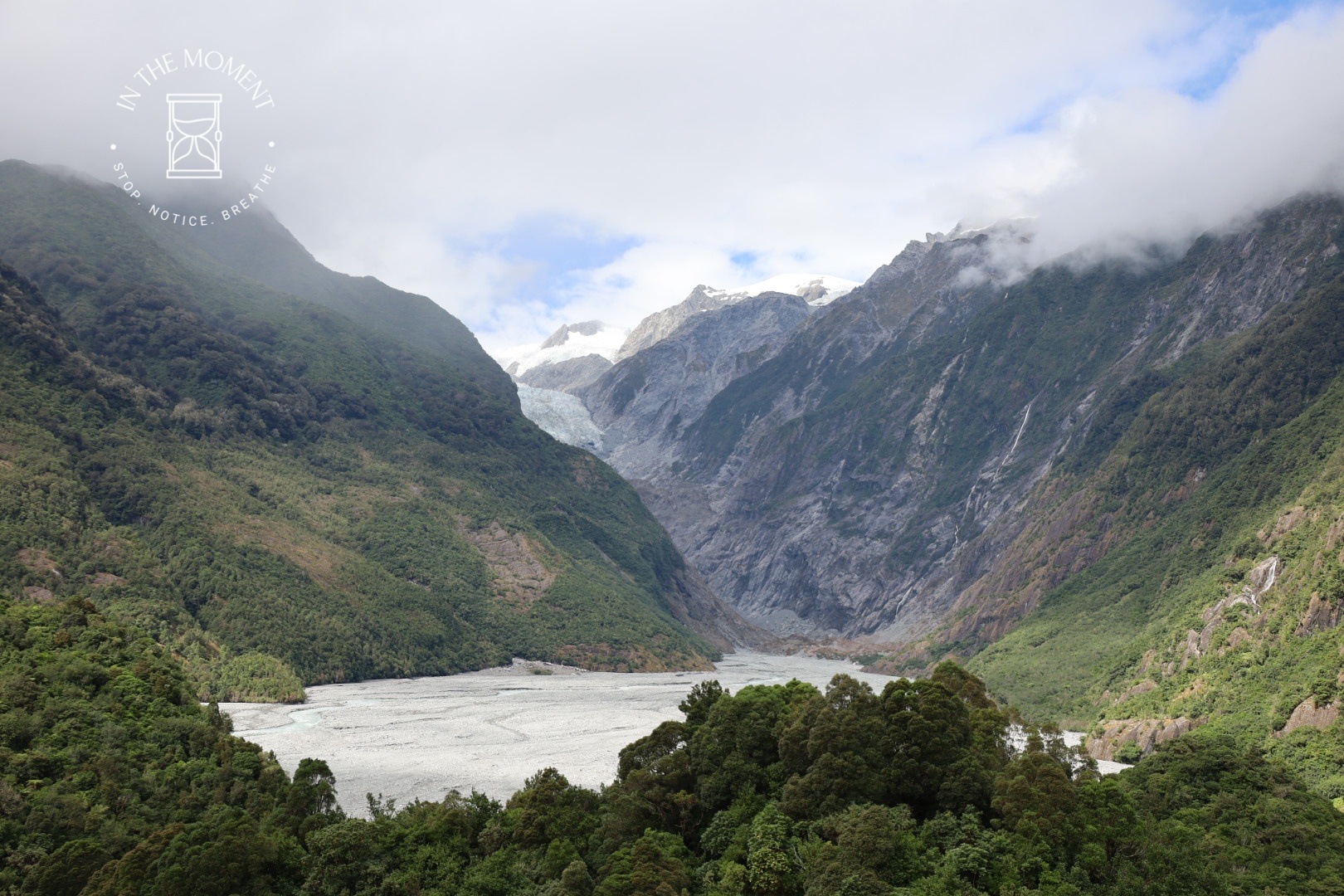
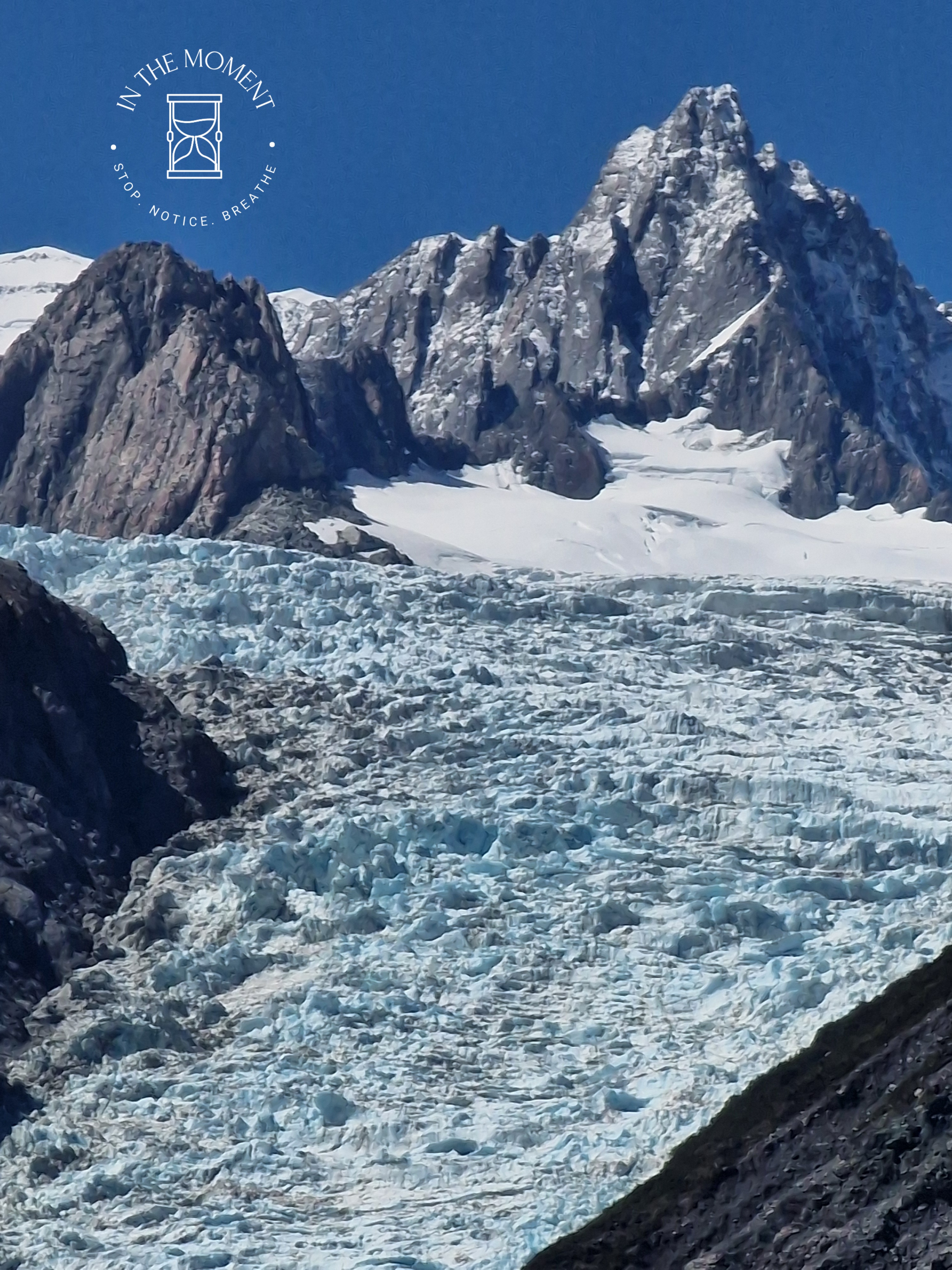
Some info about the glaciers: Franz Josef & Fox Glaciers are rather unusual because the very high level of rainfall in the Southern Alps means that they reach much lower levels than would normally be expected for a glacier. We tramped through temperate rainforest, full of tree ferns and mosses to the viewing point for both glaciers. You are unable to get as close as we did when we were here in 2014 because of the impact of global warming causing the retreat of the glacier, storms, slips, and the rivers rerouting themselves.
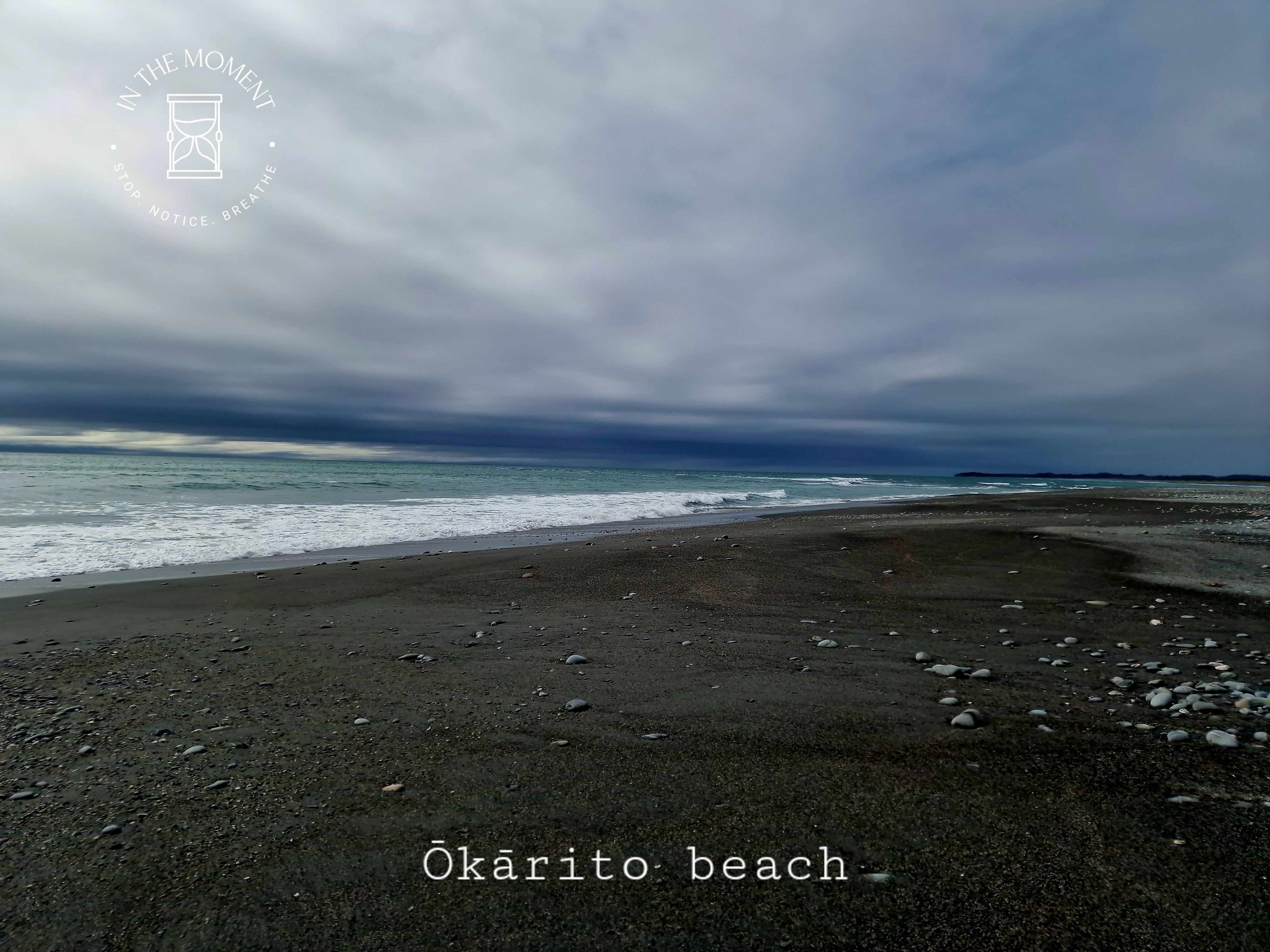
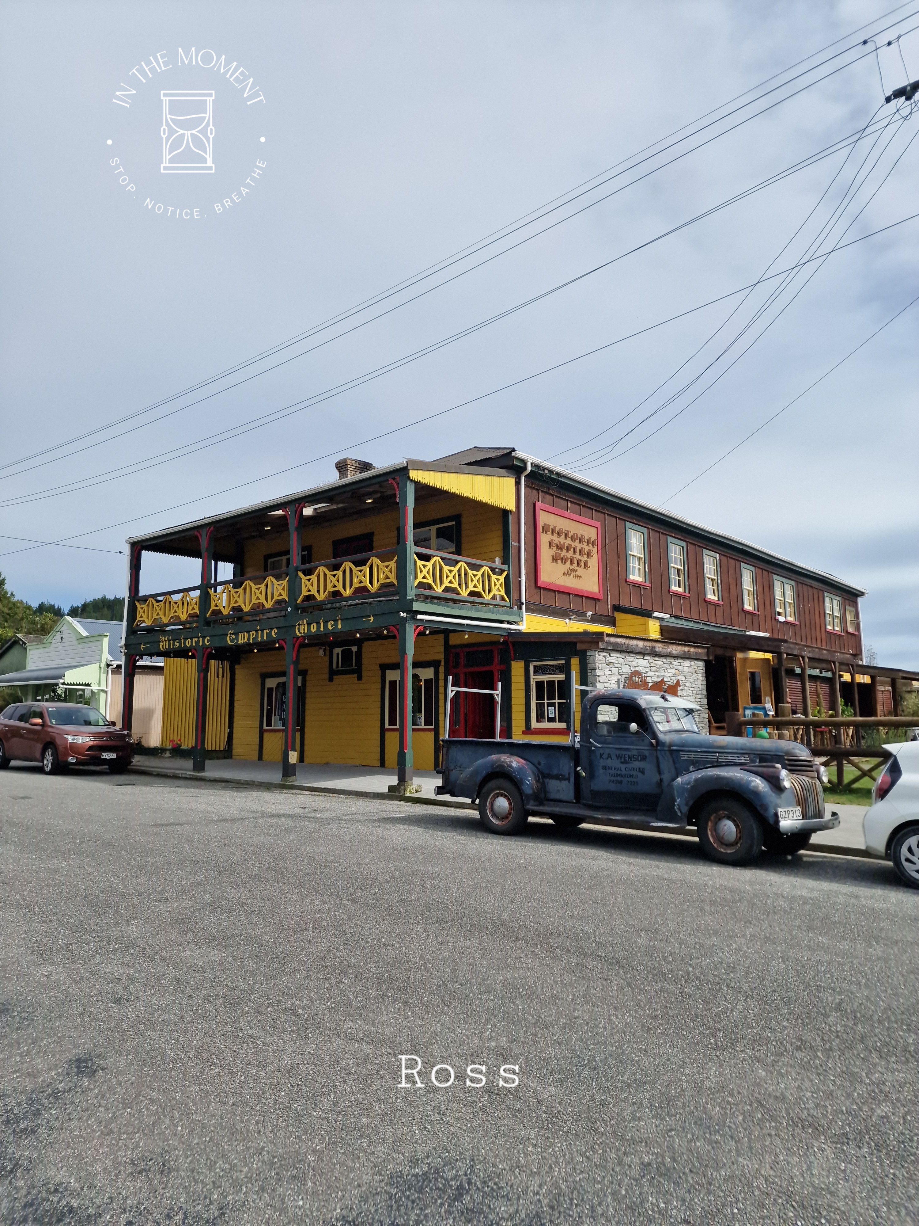
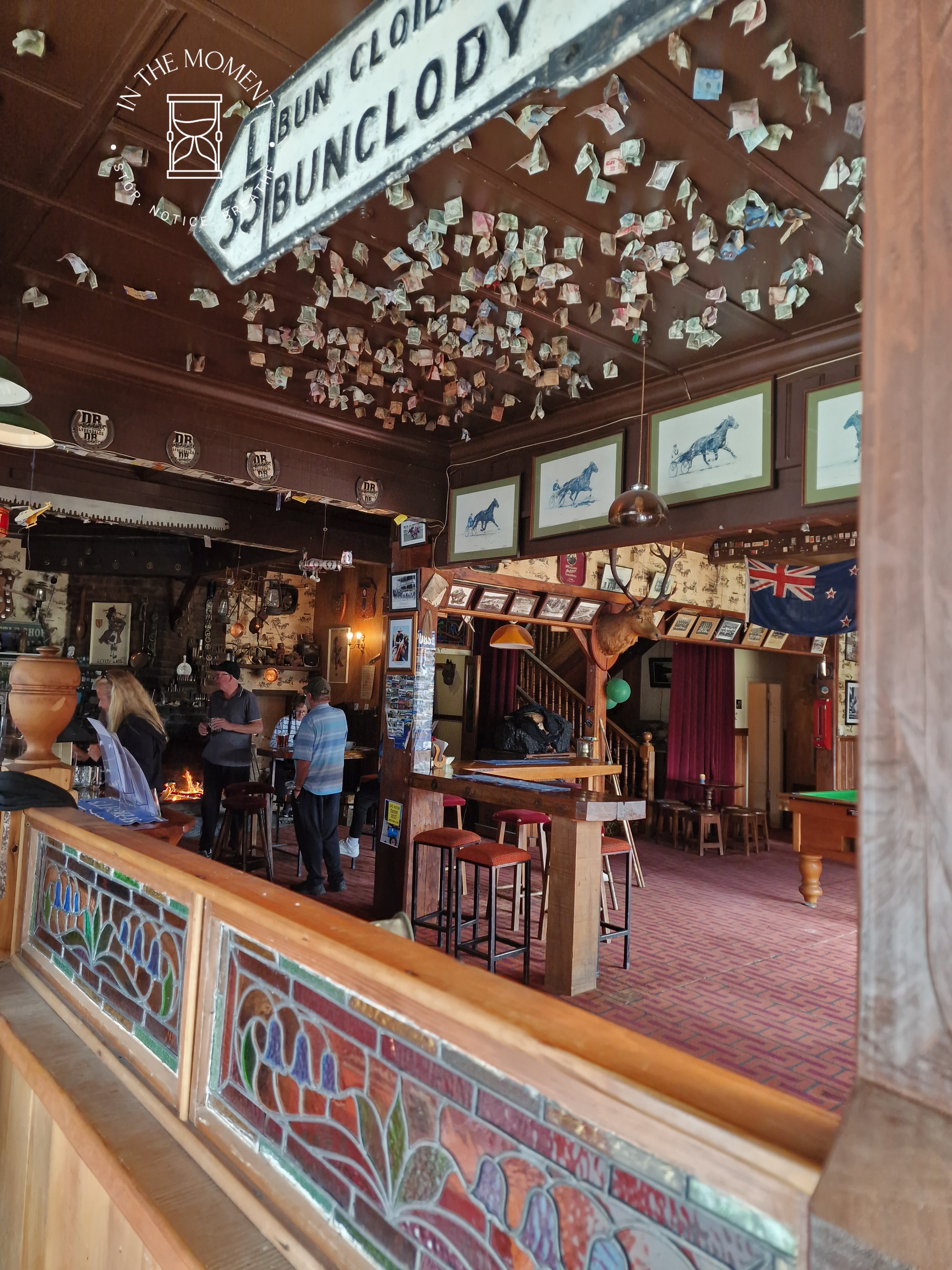
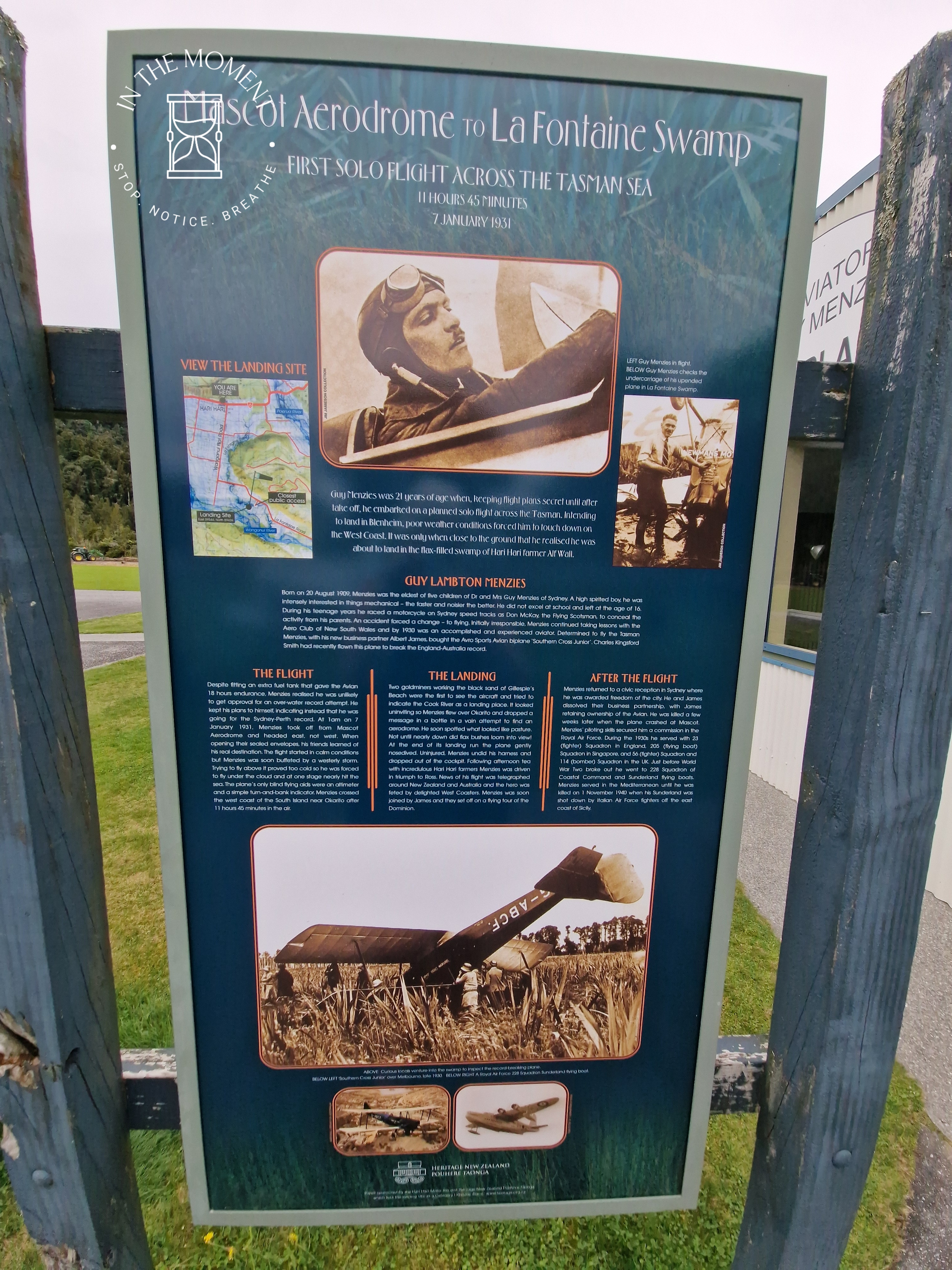
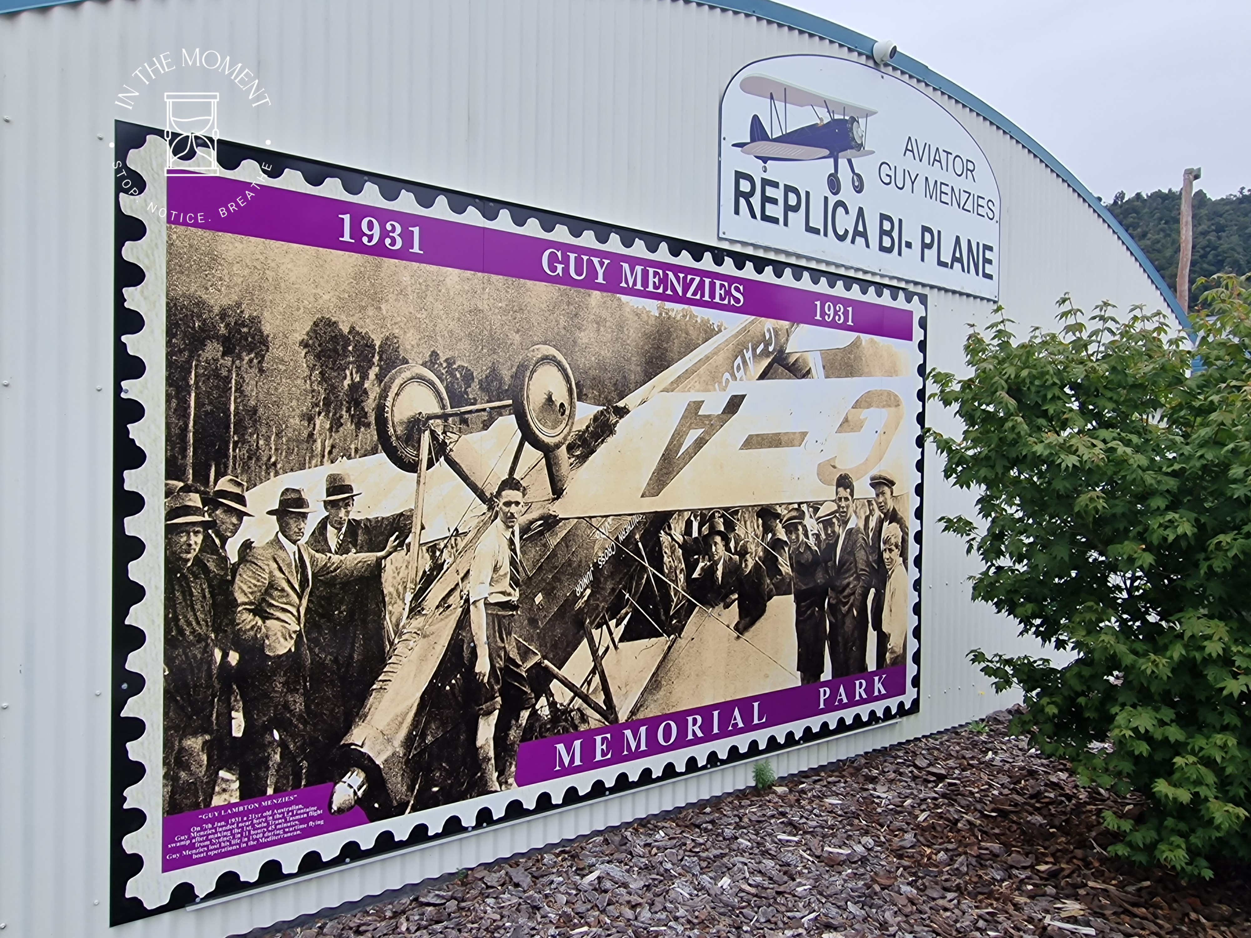
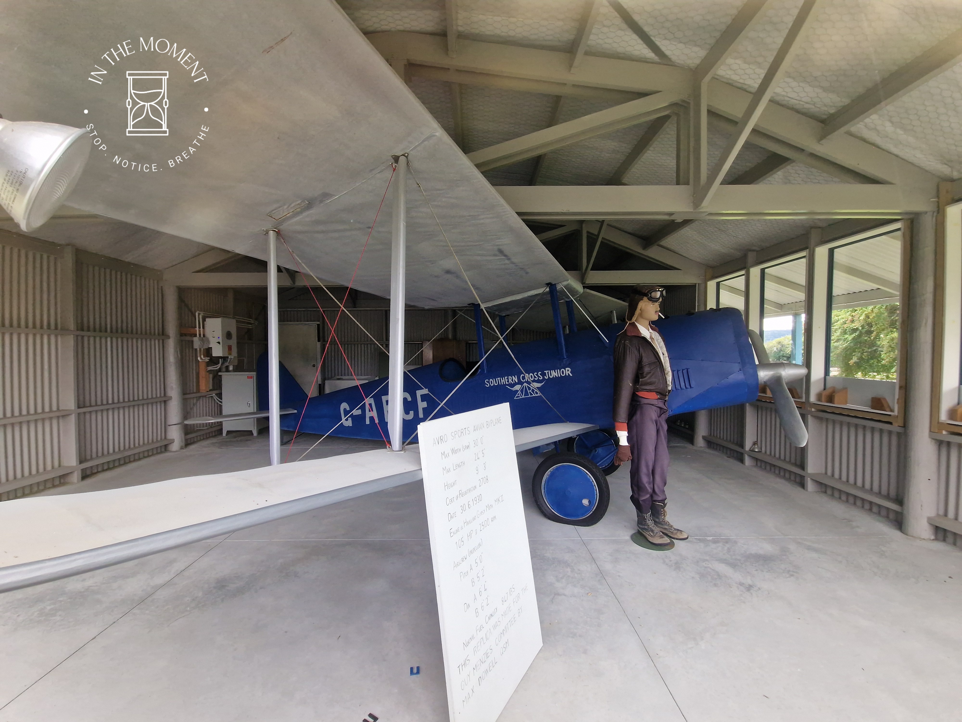
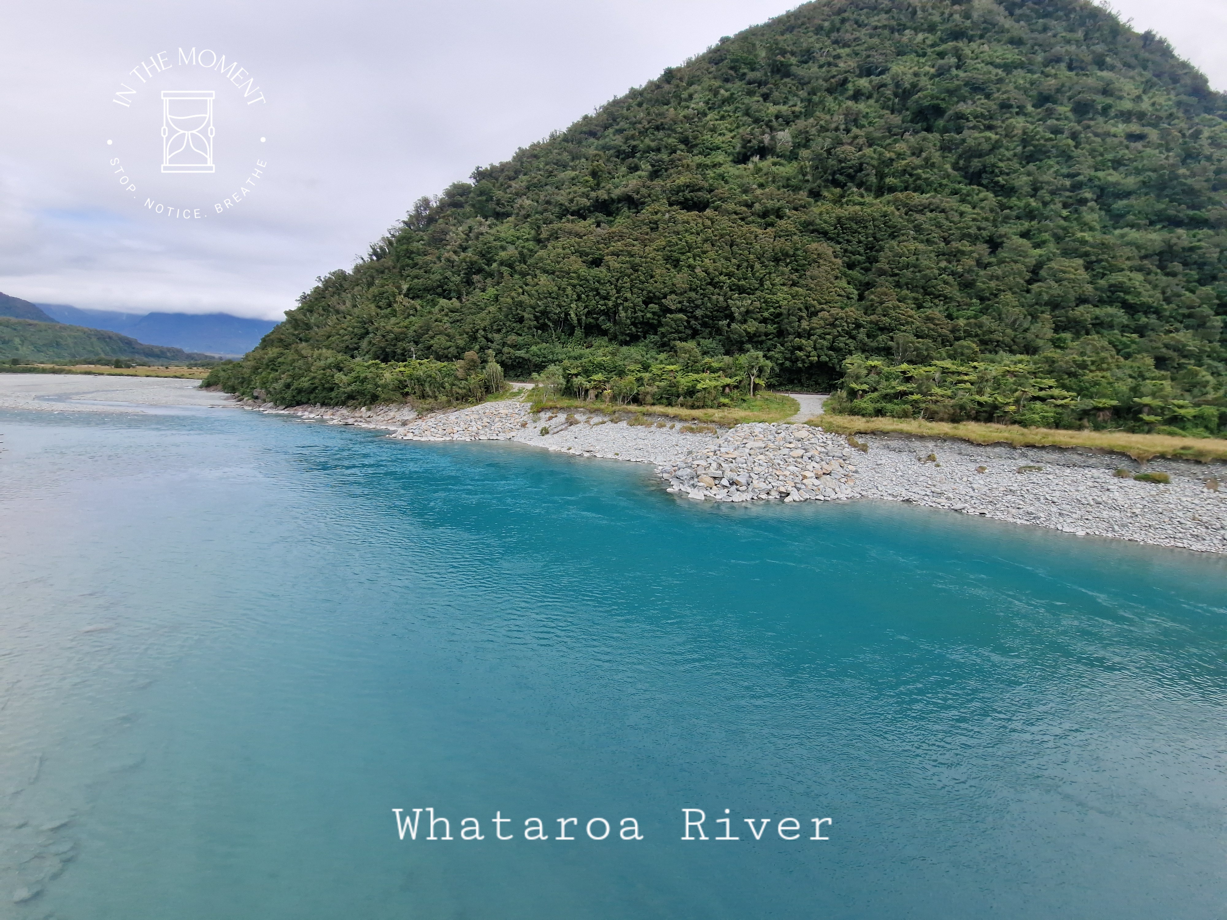
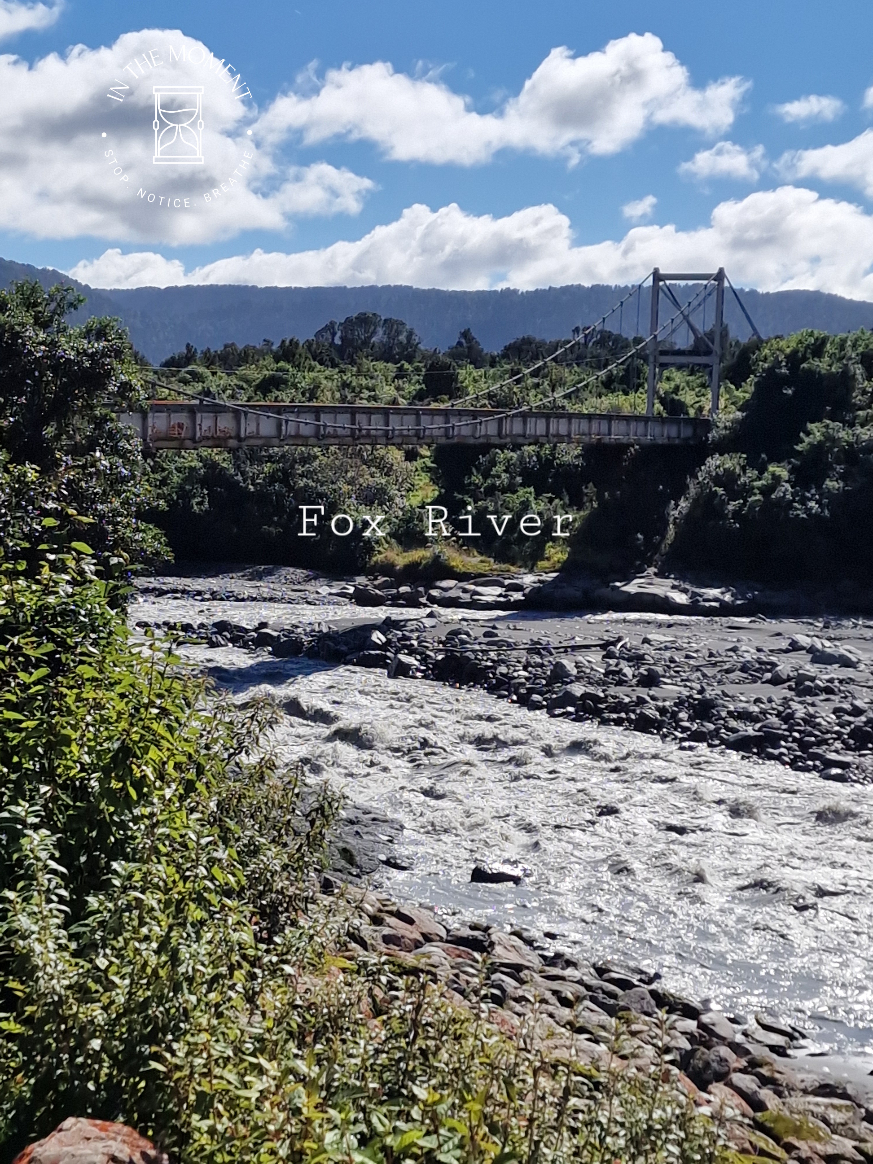
On the route south, we stopped at Ross. This town was established in the 1860s during the West Coast gold rush. At it’s largest point, there were around 2,500 inhabitants. By the early 1870s, the local goldfields became depleted and the population declined. In 1909 a huge 3.1kg nugget of gold was found by two miners. It became known as the Honourable Roddy Nugget. It became a coronation gift from New Zealand to King George V. There is a great deal of mining history here and a rather famous pub. Our next stop was Okarito. We went for a walk along a very moody beach and then spent the rest of the evening avoiding sandflies! We pass the site which remembers the first trans Tasman flight which ended in a swamp! And stopped to admire the blueness of the Whataroa River.
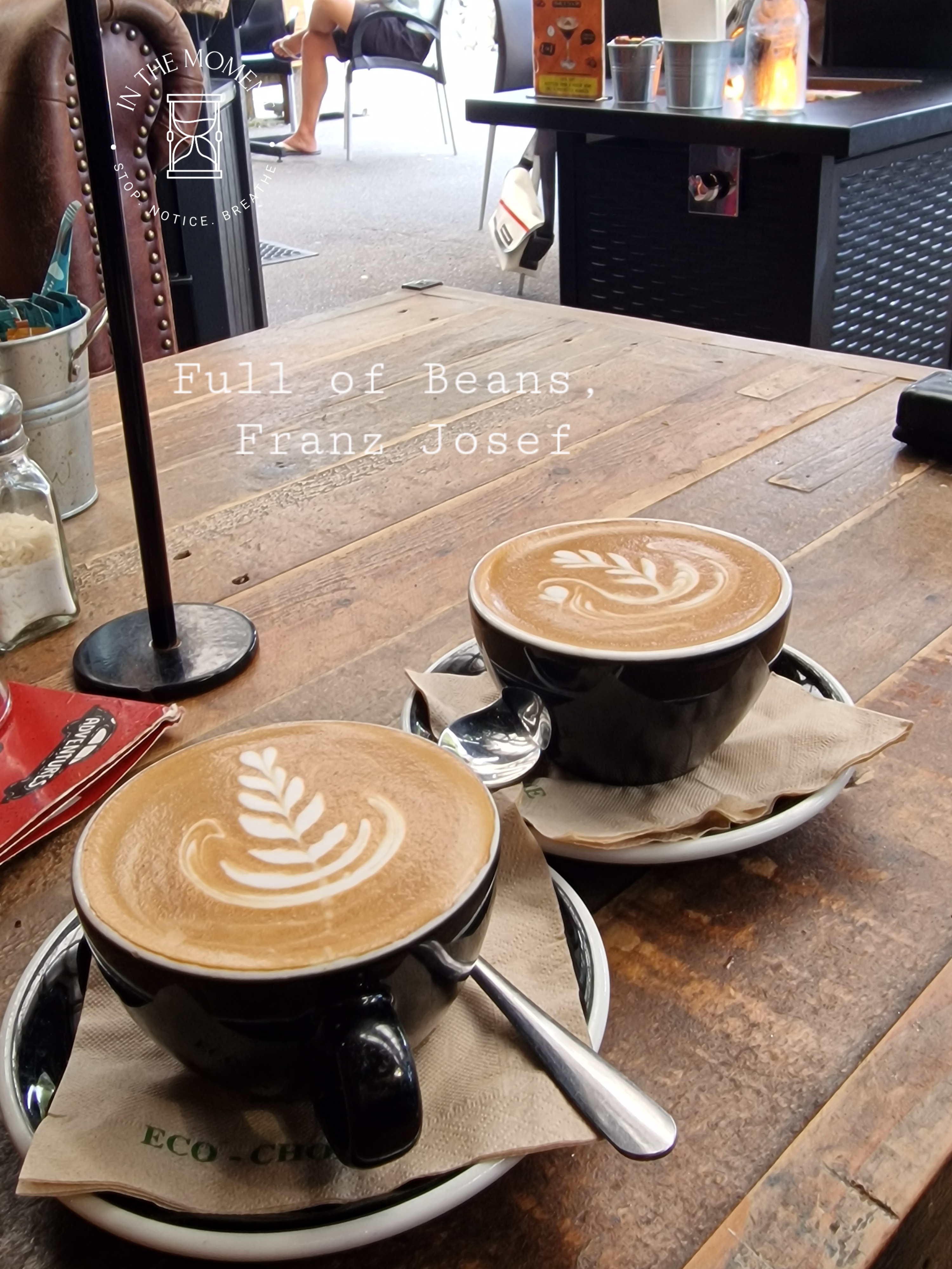
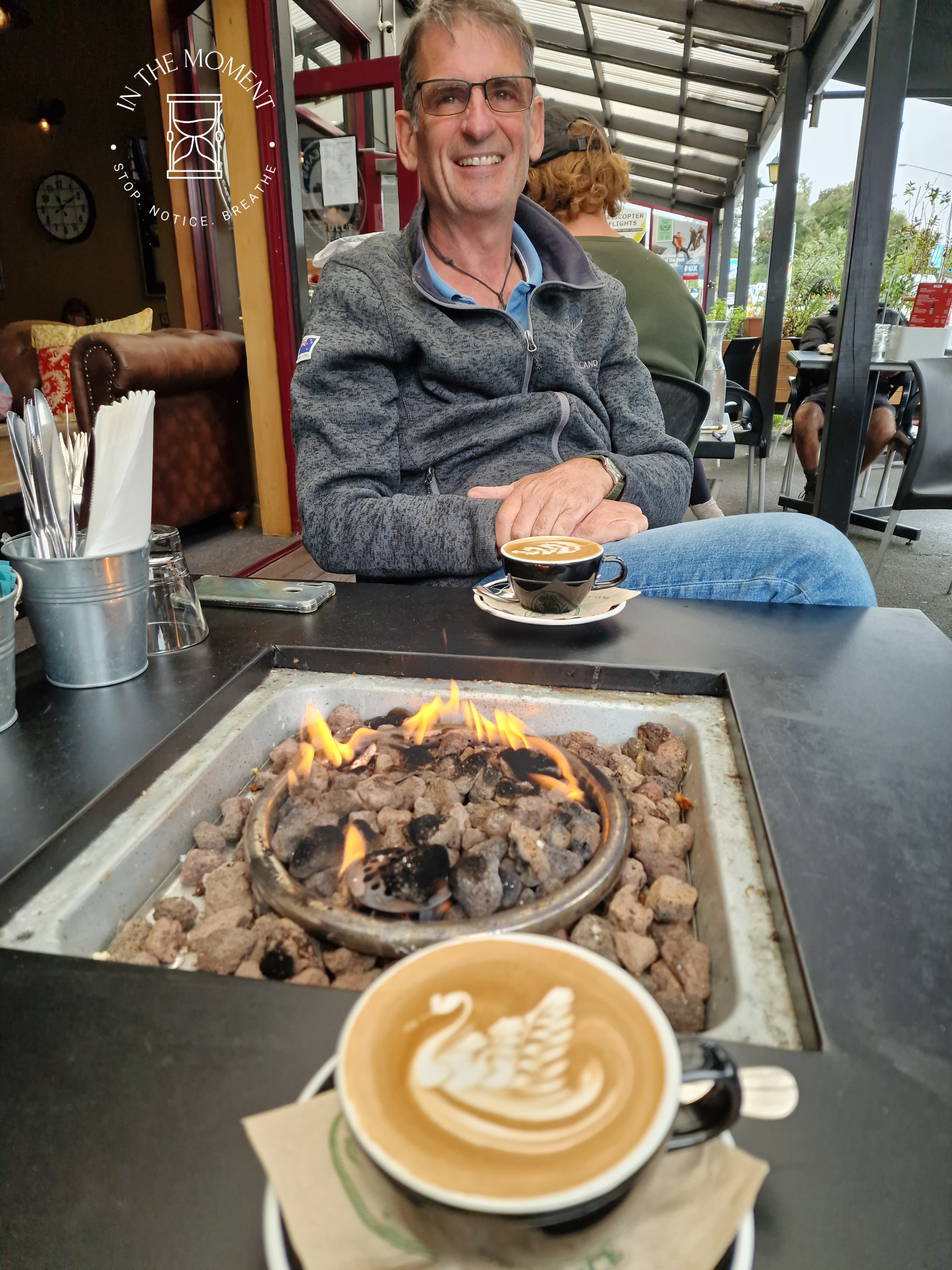
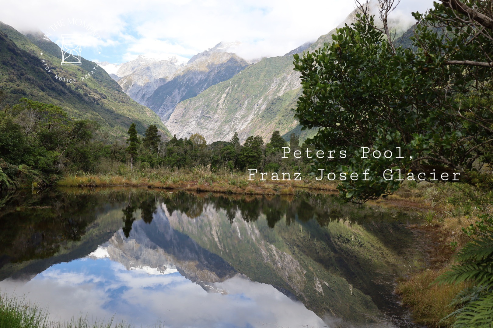
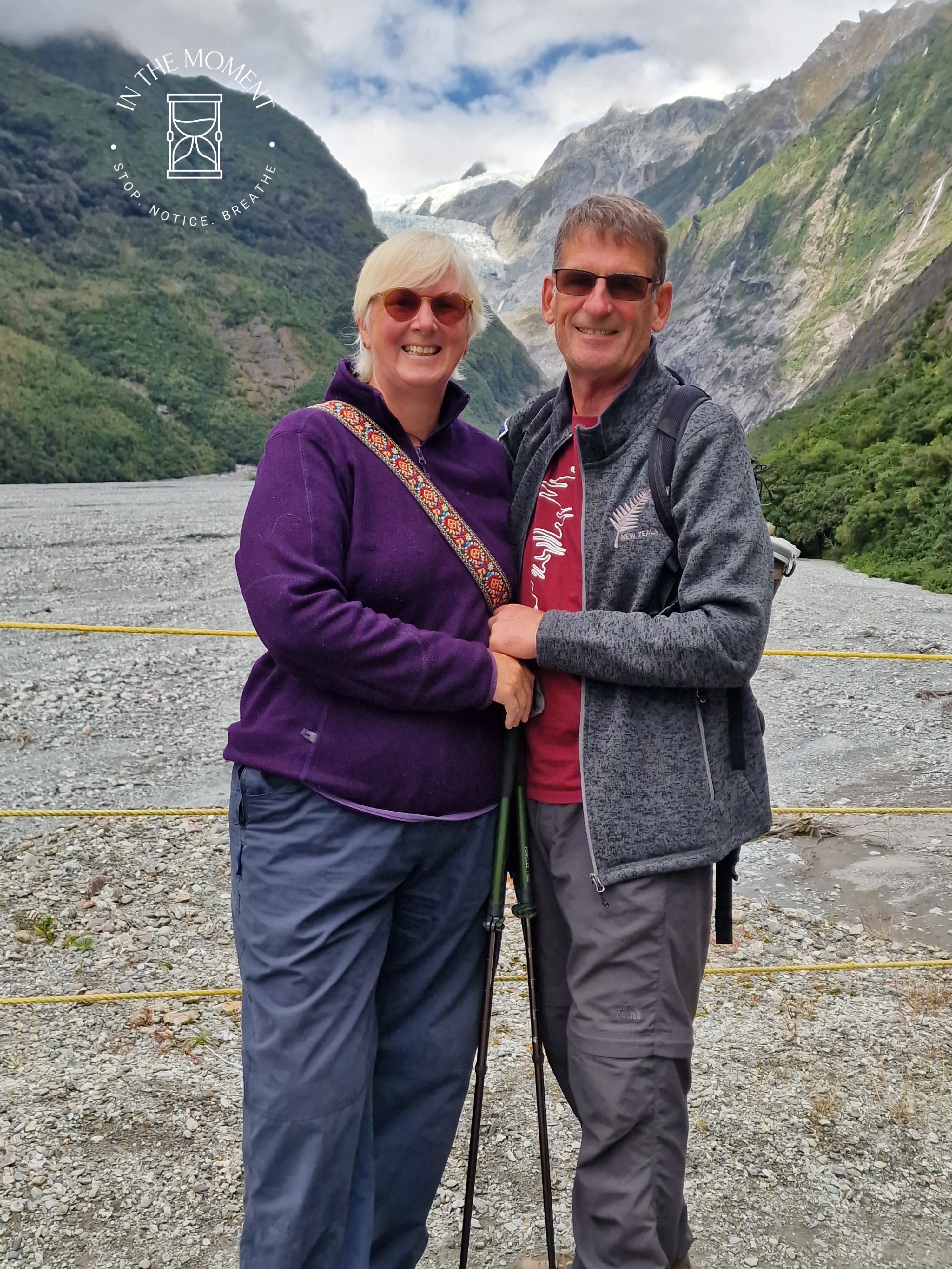
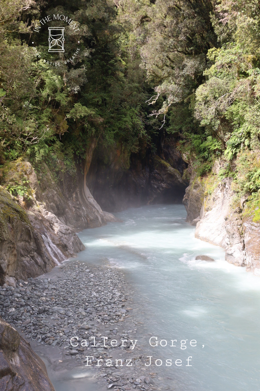
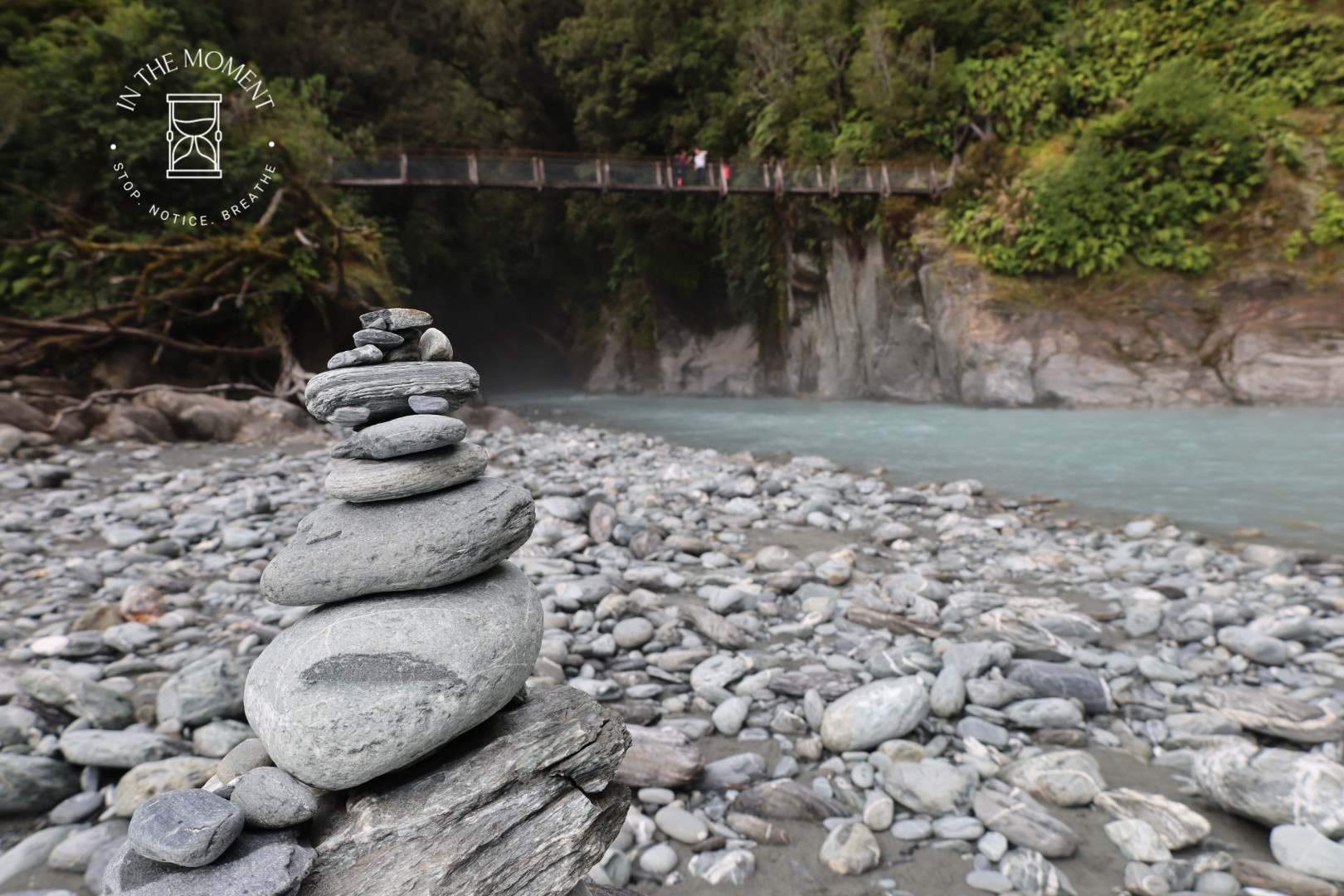
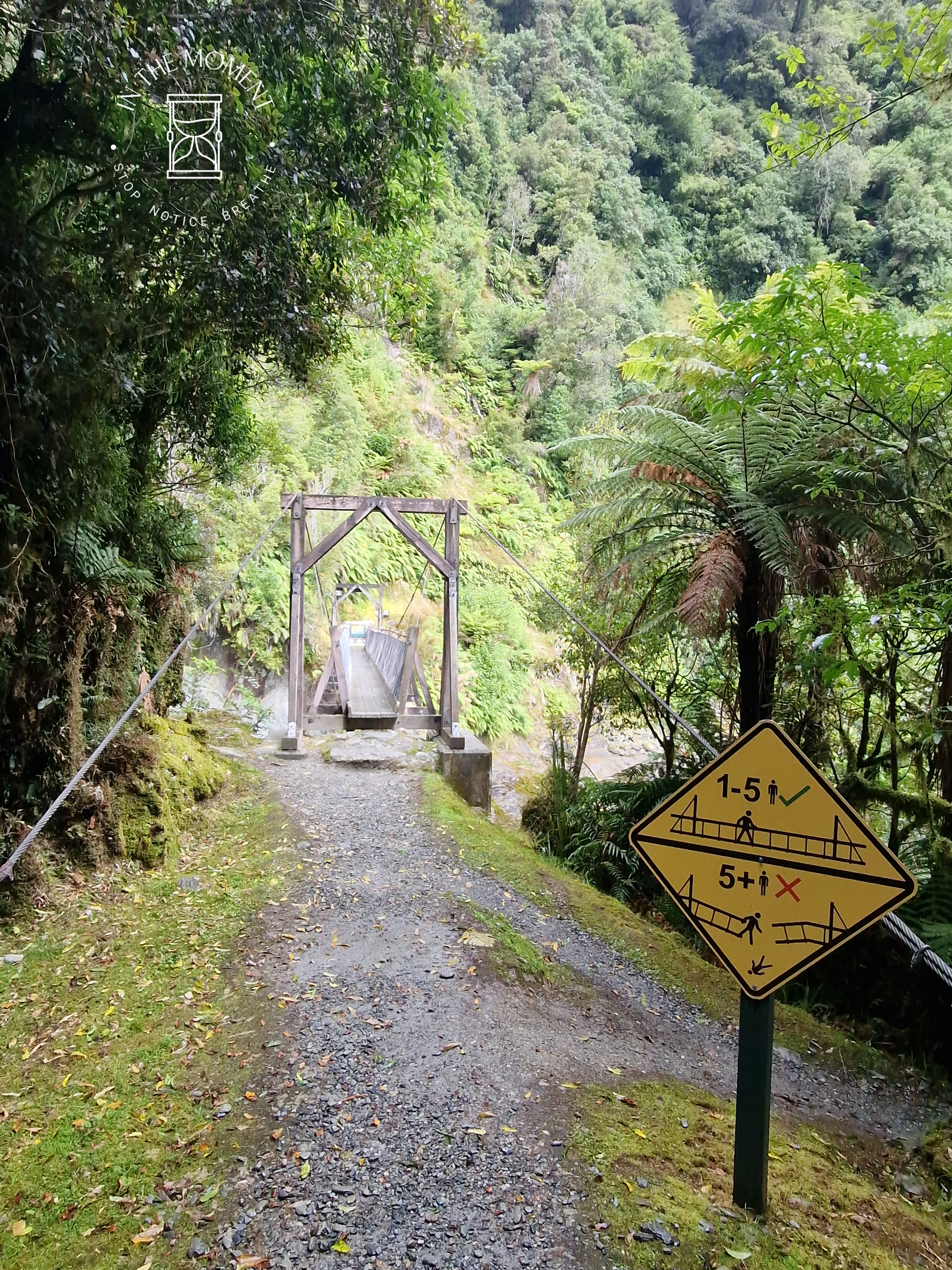
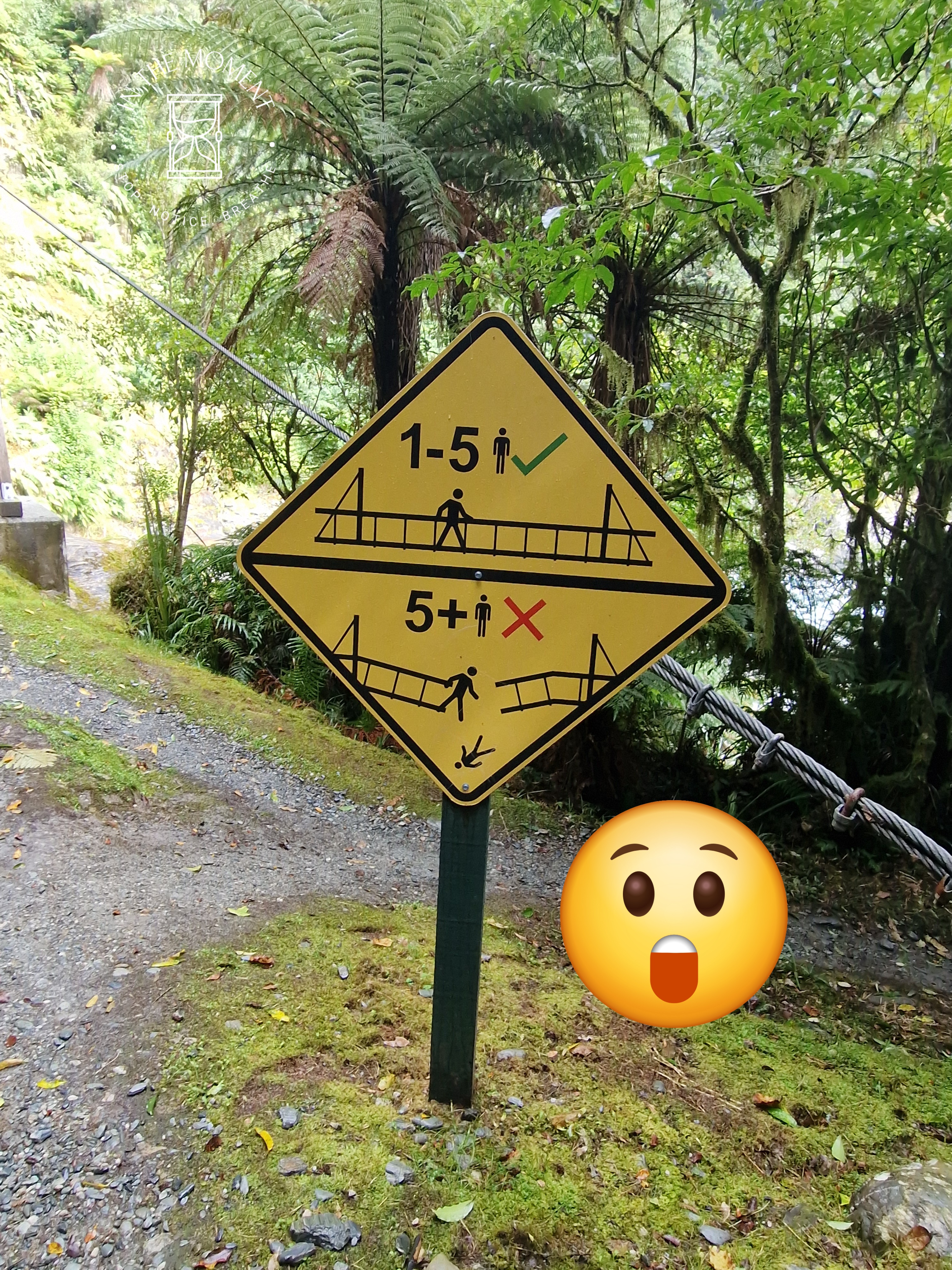
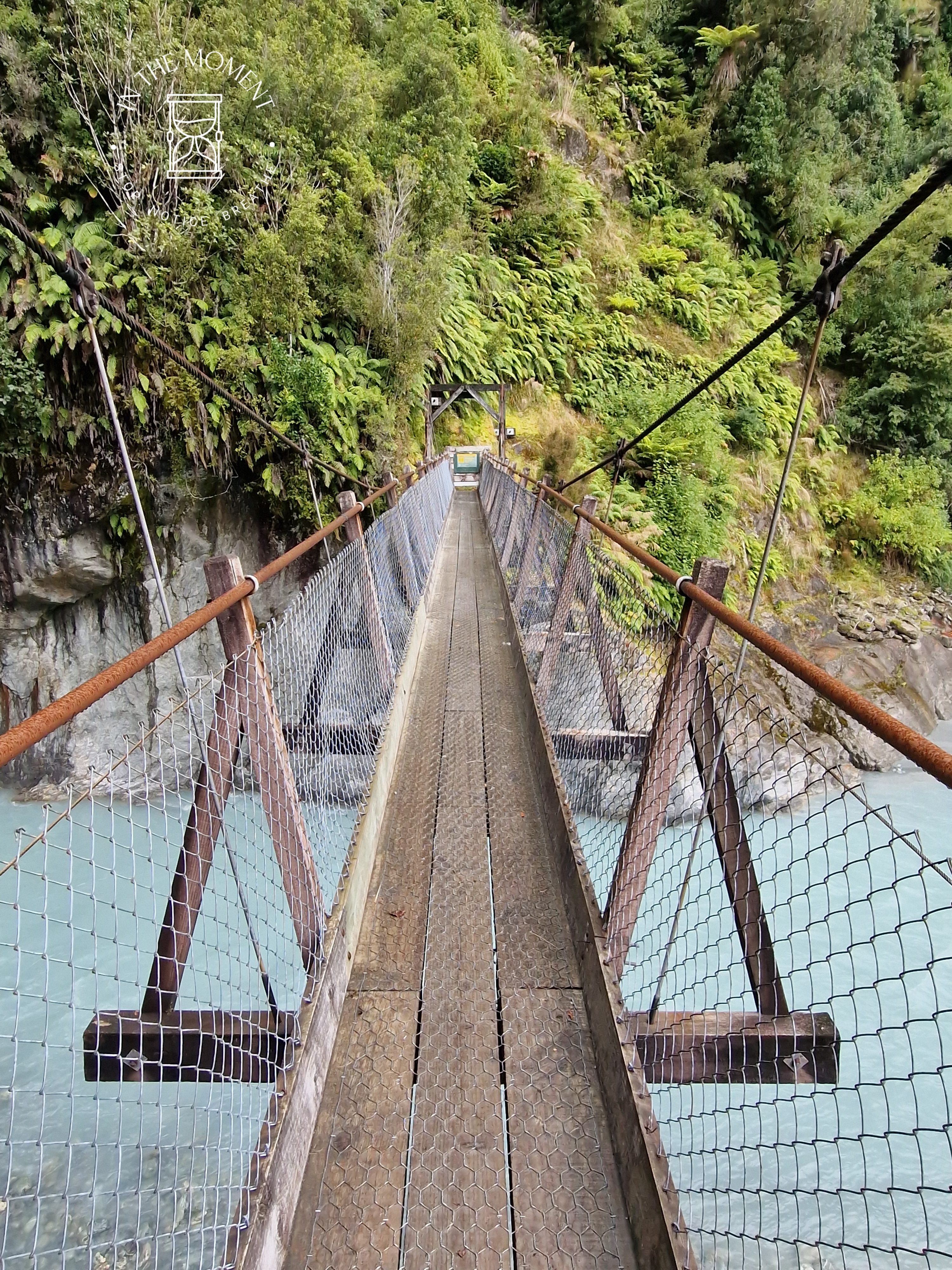
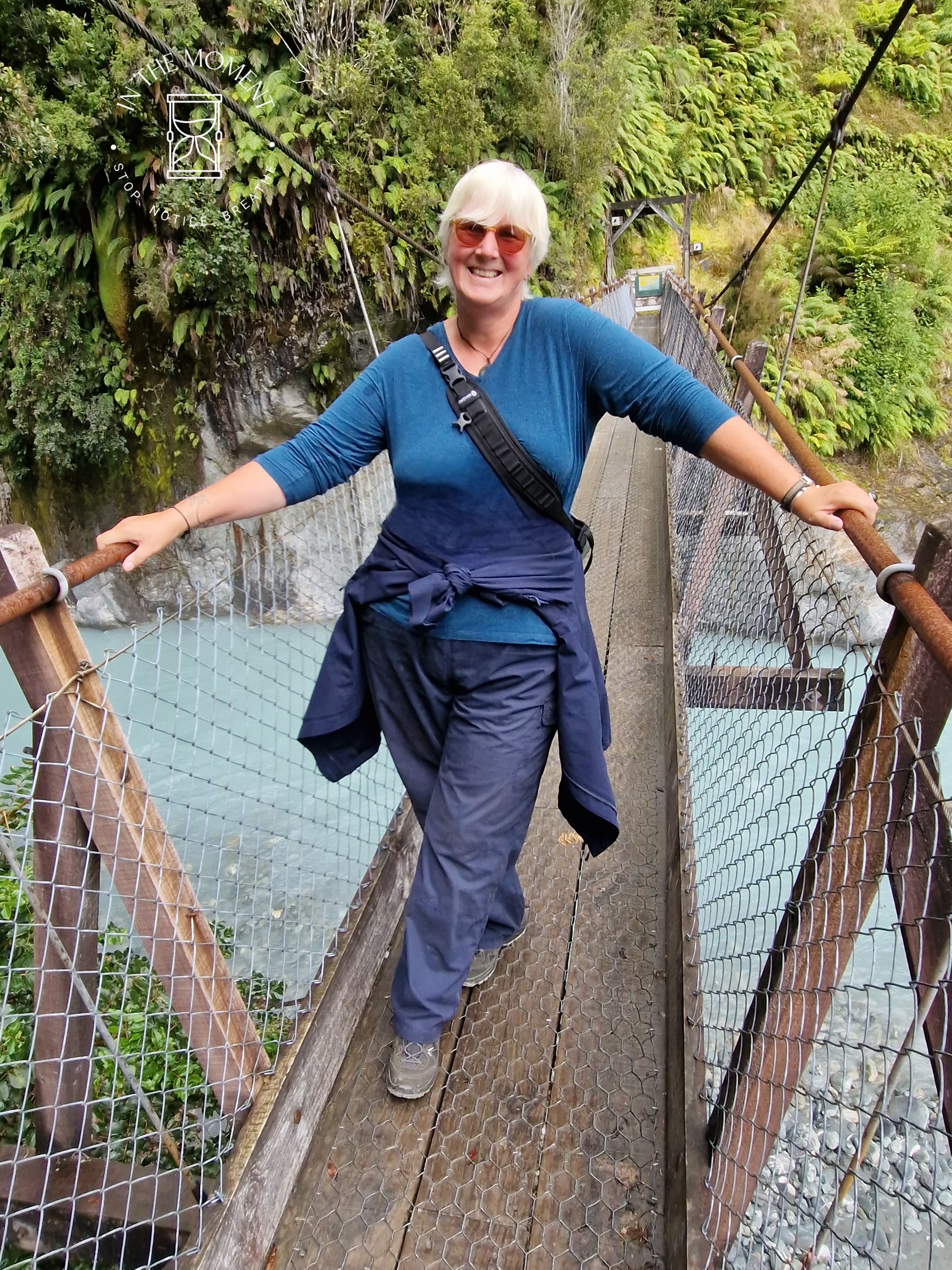
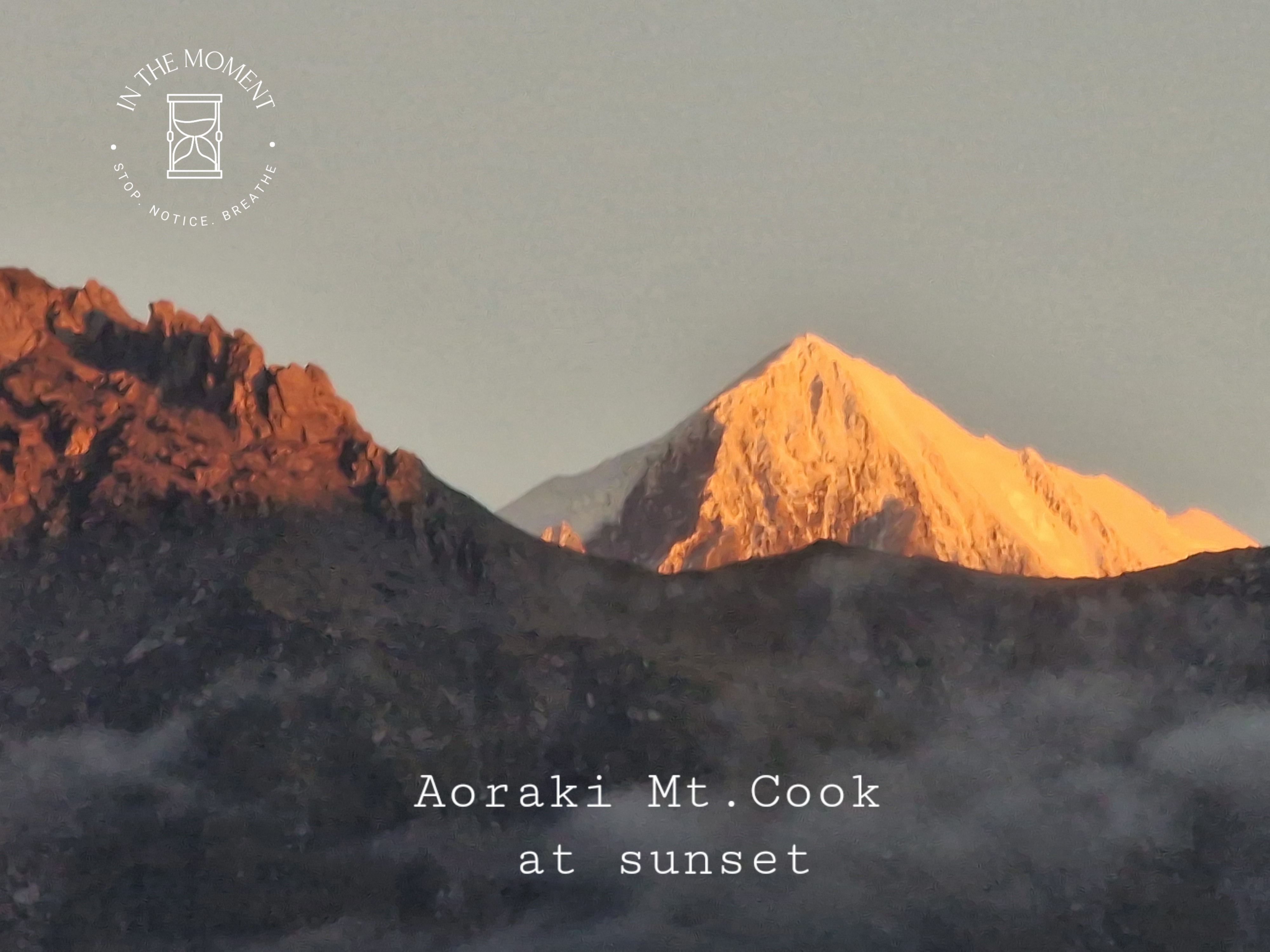
Franz Josef – We were both so keen to return here as we have such great memories of our walk to the glacier’s snout/foot. Alas, as mentioned above, the walk that you take now, takes you to several viewing platforms, all of which are 1000s of meters from the snout. We did three walks here, the main viewing platform, Sentinel Rock walk & Peters Pool – which is quite stunning! We also walked the Callery Gorge track which was very steep in places and culminates in a swing bridge with a rather scary warning by it. Also managed to find a rather good flat white in the Full of Beans Cafe. https://www.fullofbeanscafe.co.nz/
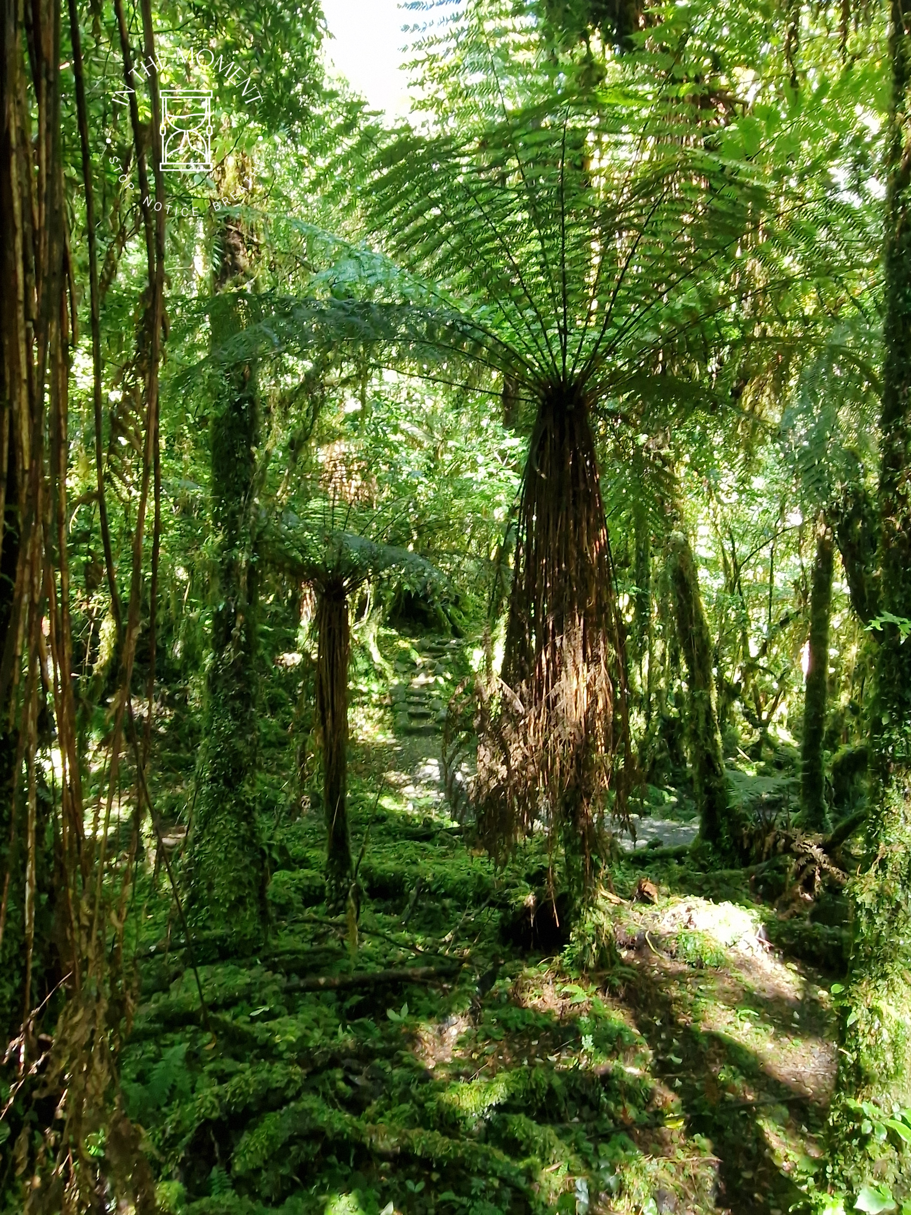
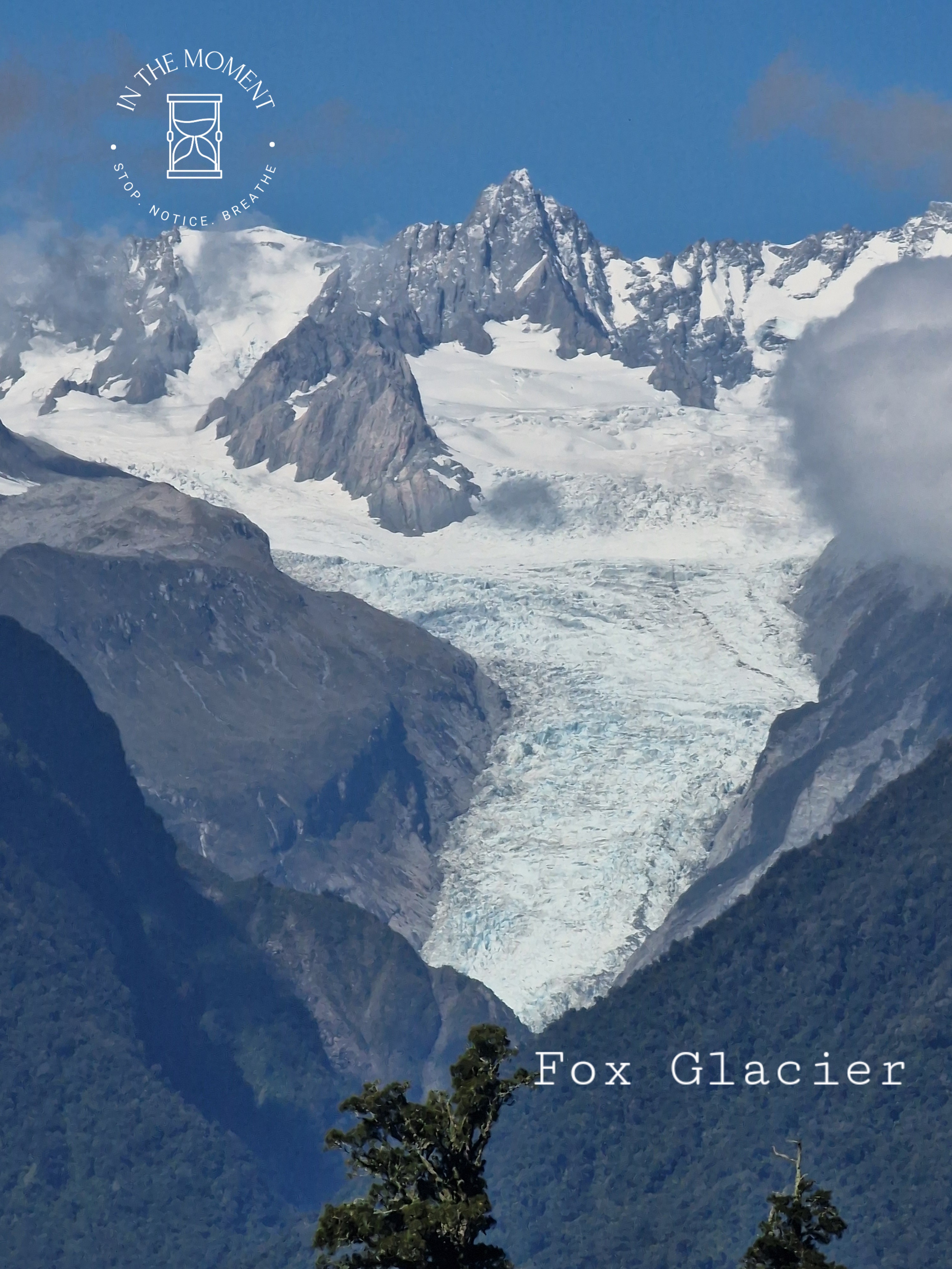
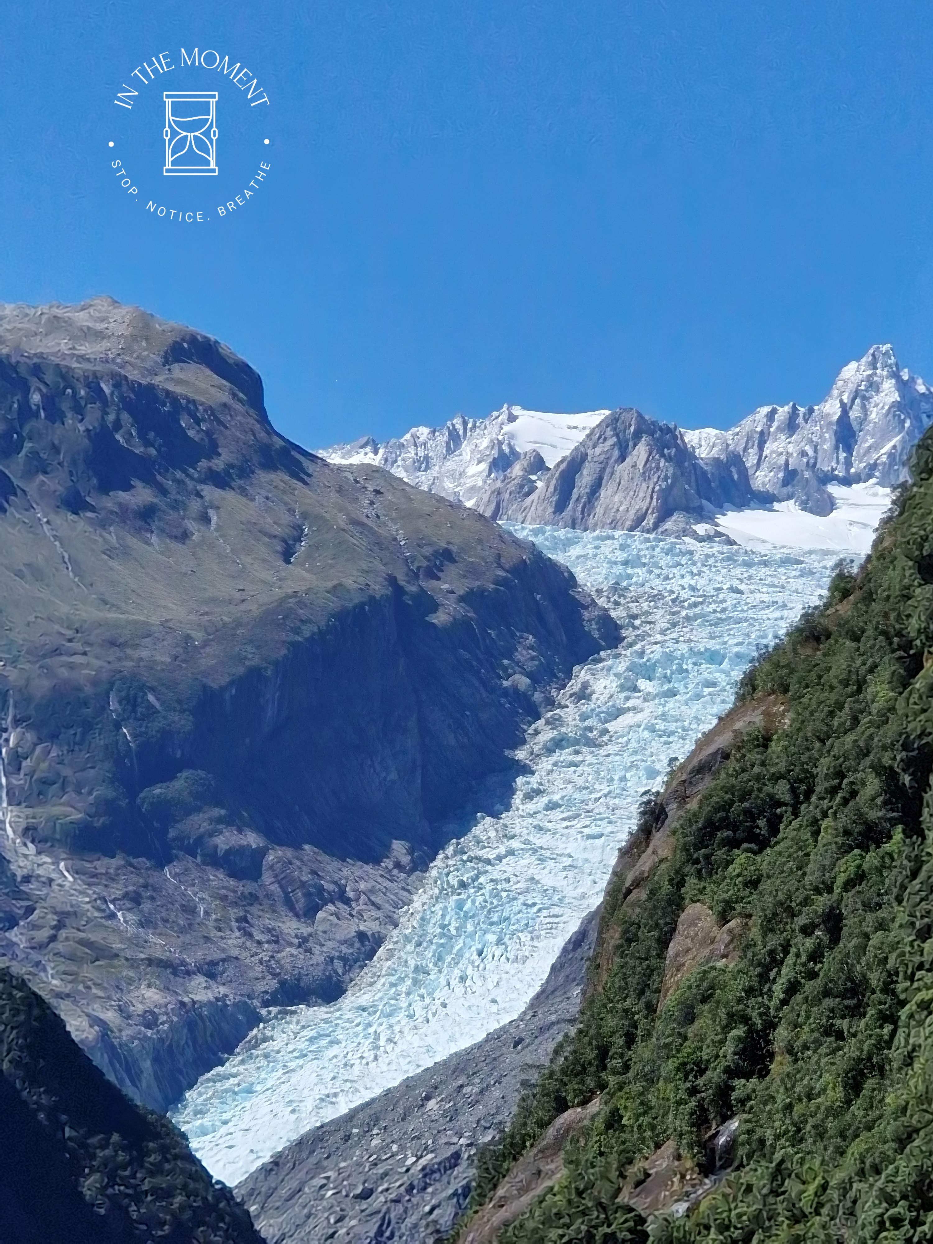
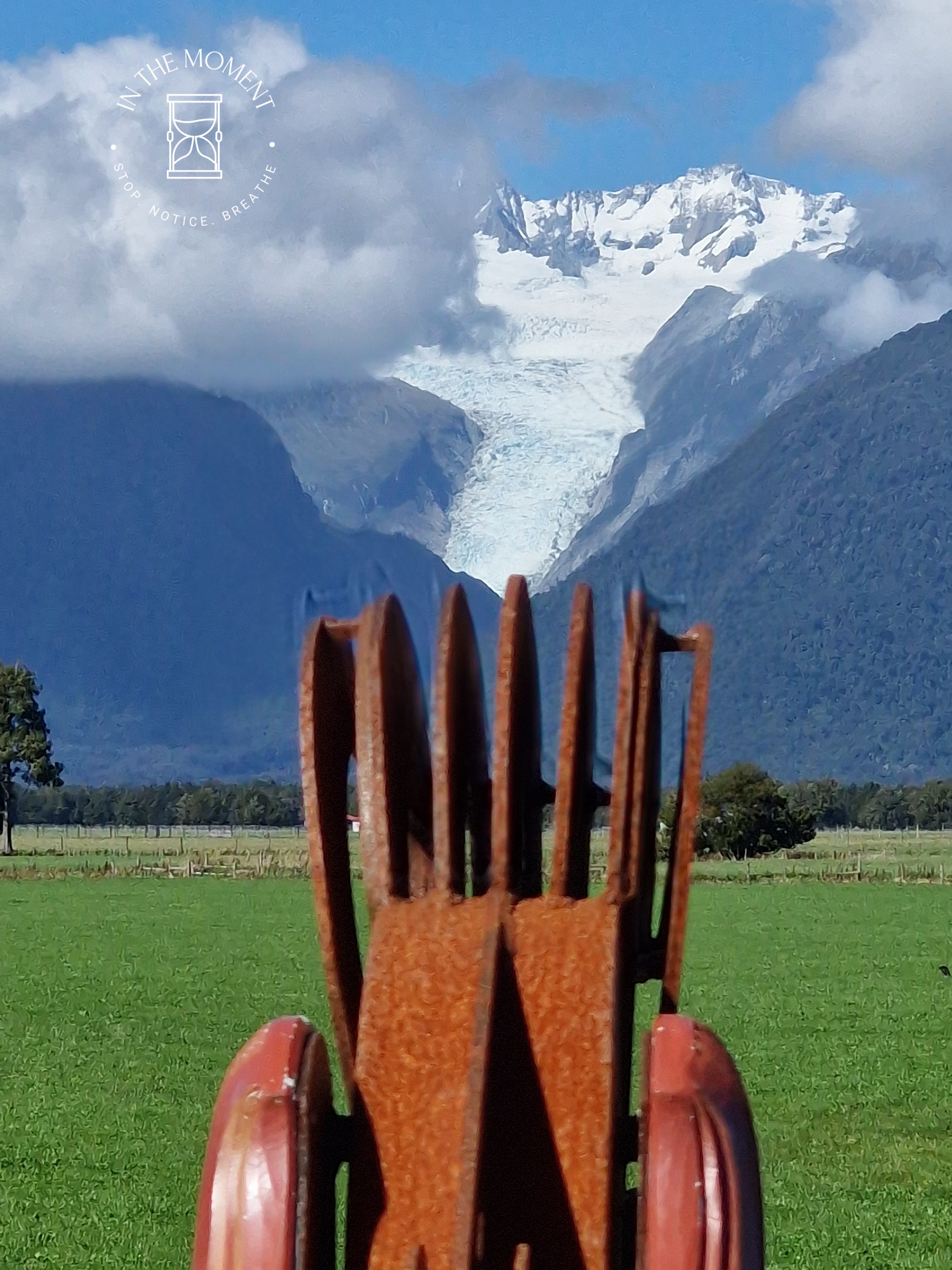
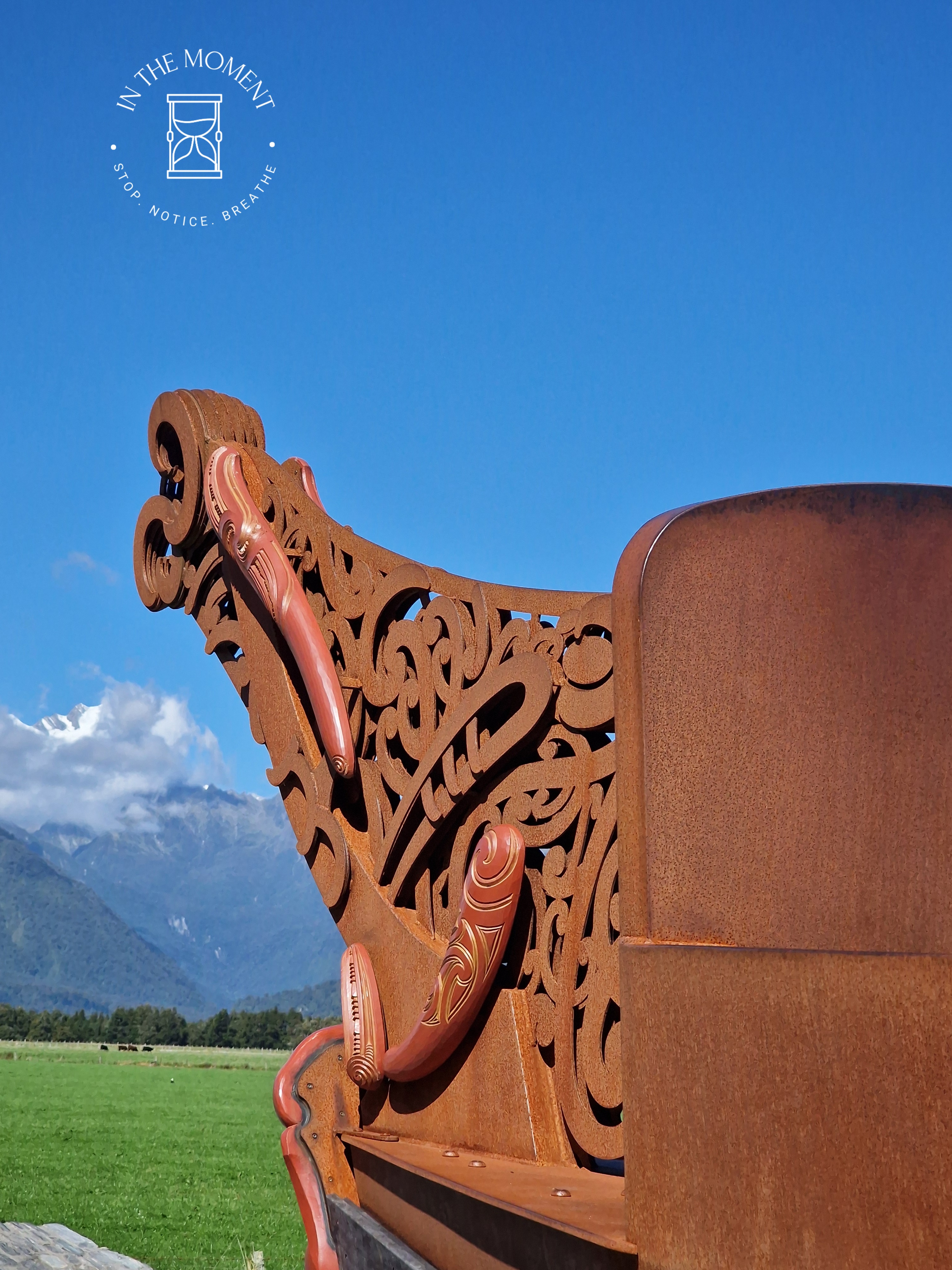
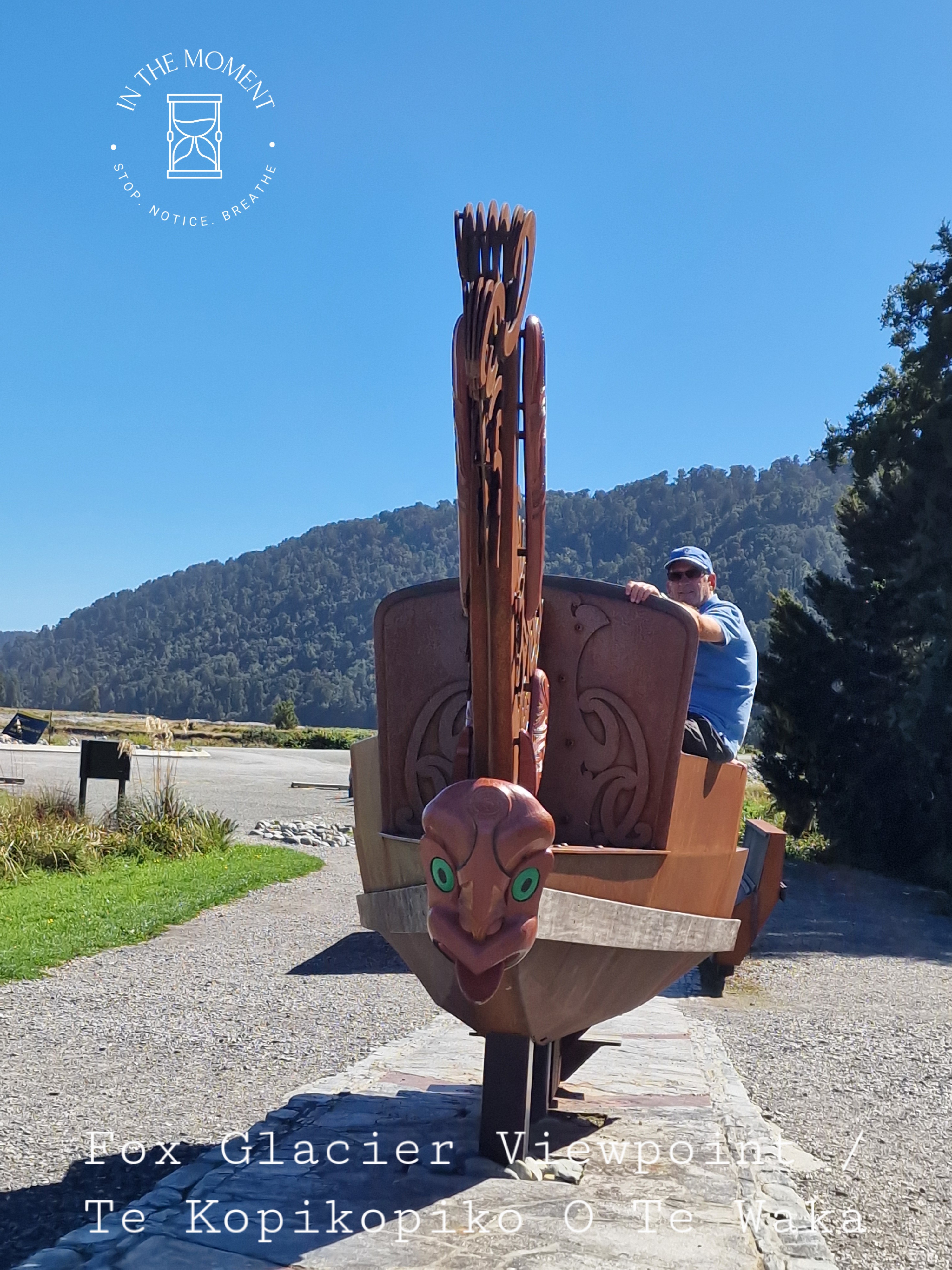
Fox Glacier – Fox glacier has also succumbed to the impact of global warming, storms, slips and rerouting rivers like Franz and so our walk there was tinged with some level of sadness. We did discover a lovely little walk – the Morraine walk that takes you through fairy-tale like forest – moss covered trees, tree ferns, small streams, mist. Just delightful. We walked to the viewing points, there are two and then drove to a third where we discover https://tohuwhenua.nz/regions/te-tai-poutini-west-coast/te-kopikopiko-o-te-waka/ a stunning sculpture/installation which faces the glacier and the alps.
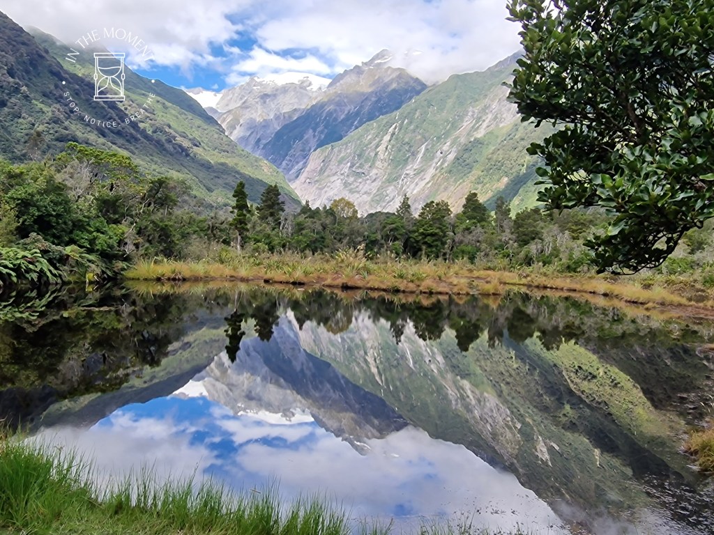
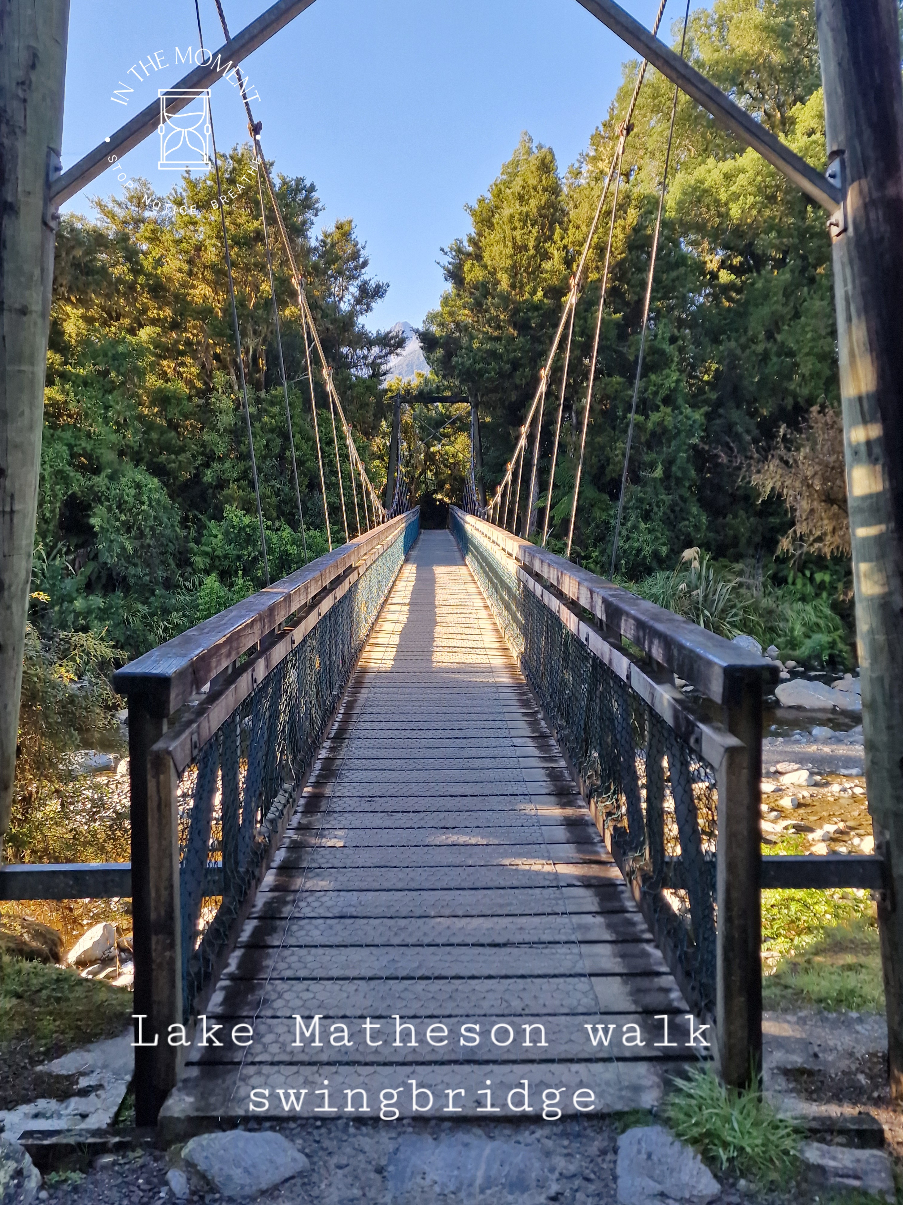
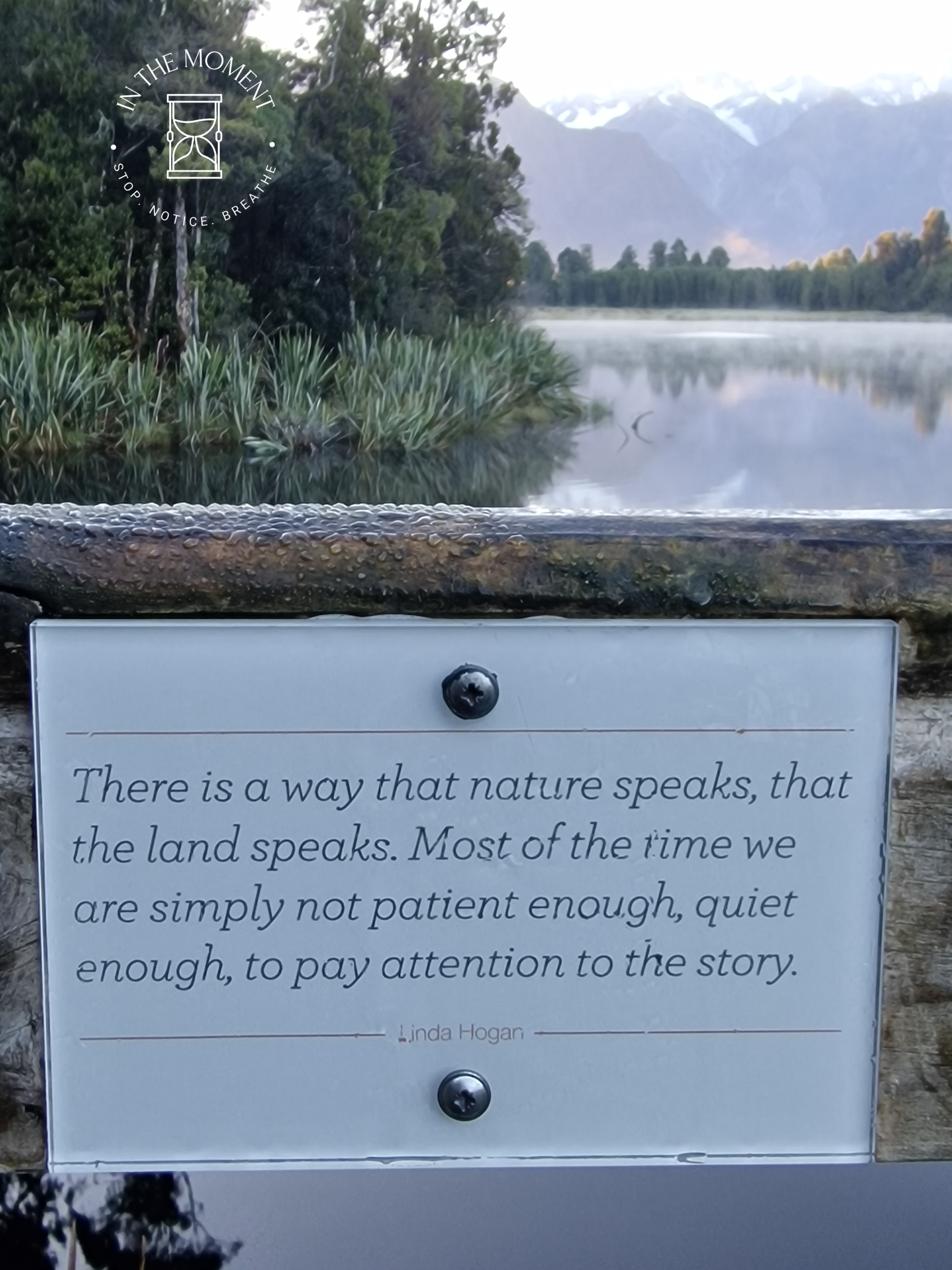
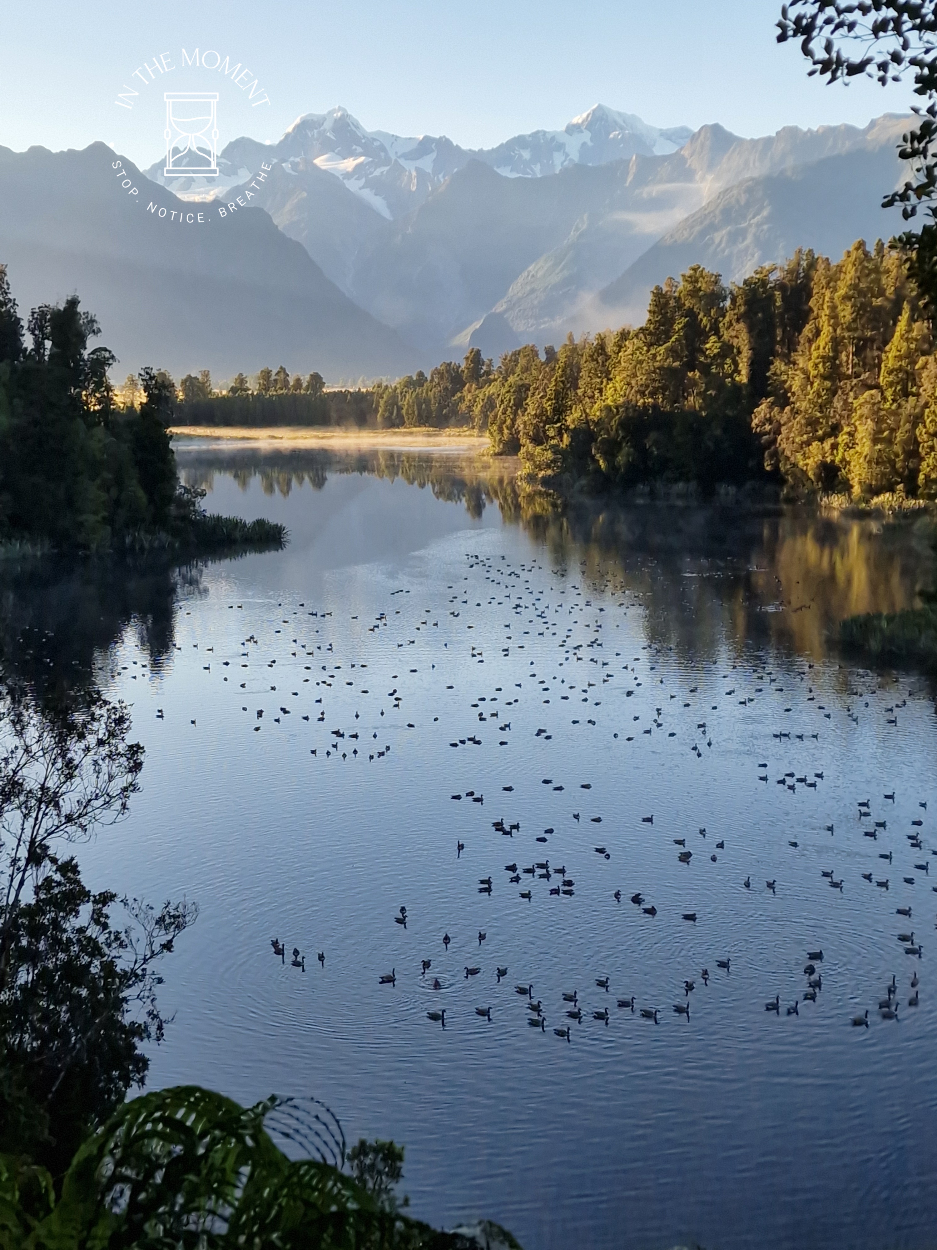
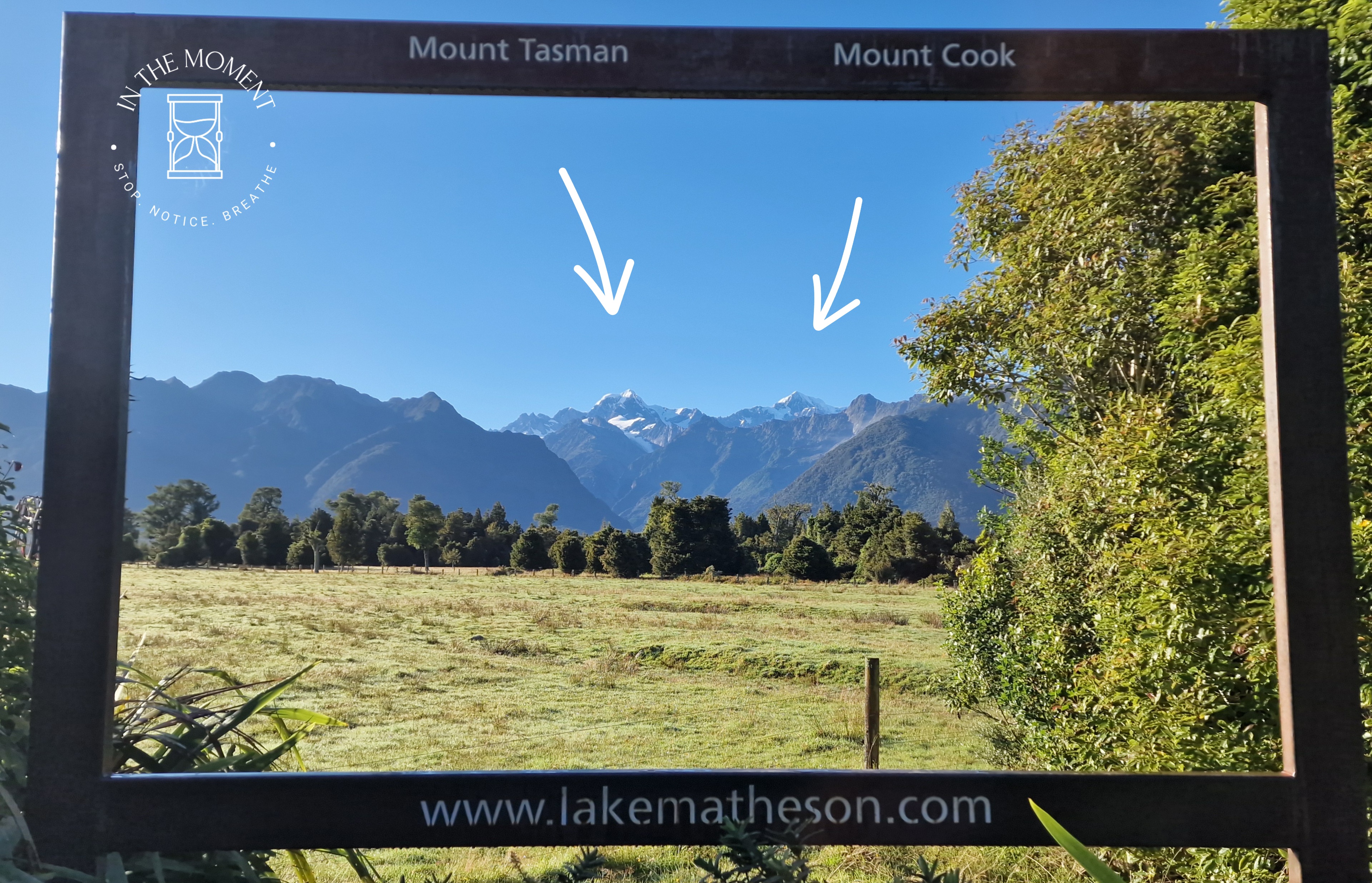
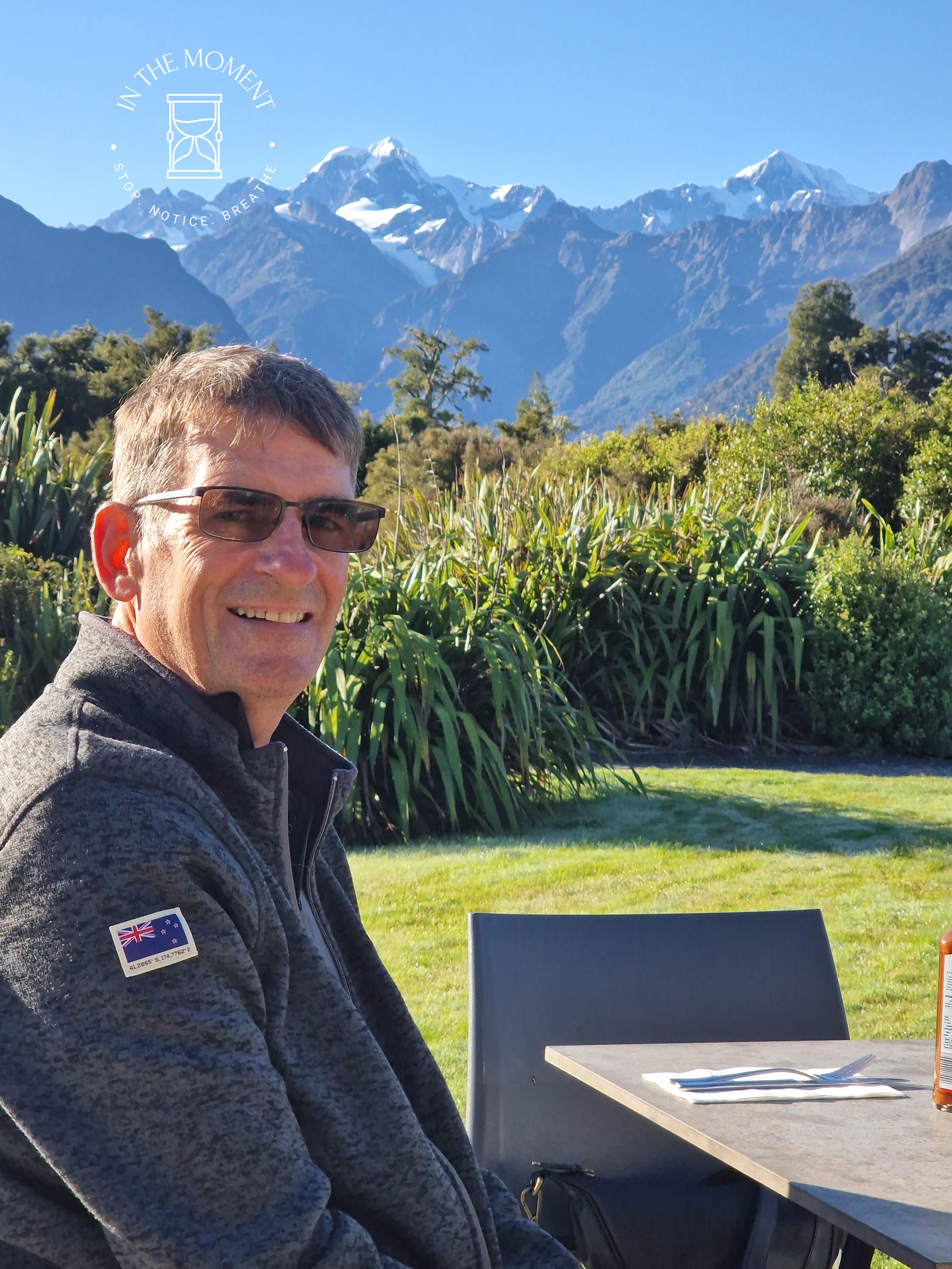
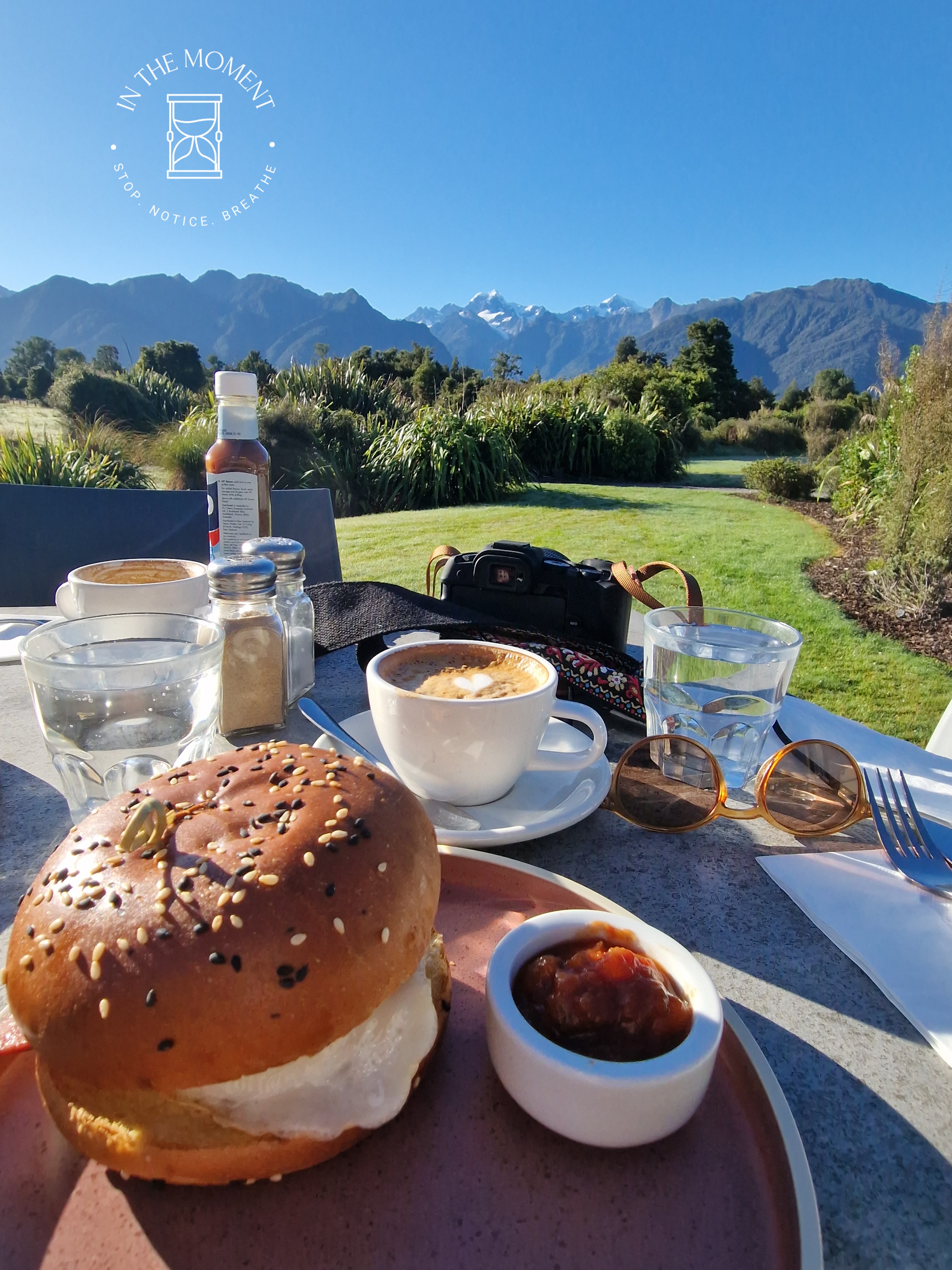
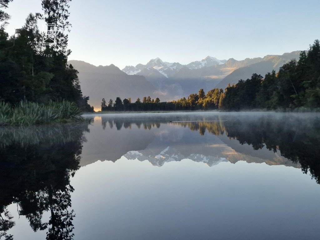
Lake Matheson – This is probably the most photographed lake in New Zealand. It is a gorgeous lake that sits under the gaze of the alps. If all of the stars are aligned for you, you may be able to take THAT photo. There is all sorts of advice about how to achieve it. We went just after dawn. It was chilly and misty. Were all of my stars aligned, probably not but I love these photos. Starting any walk with a swing bridge is a win for me and the walk itself is really lovely. As a reward for such an early get up, we treated ourselves to a breakfast bap and flat whites in the Matheson Cafe!

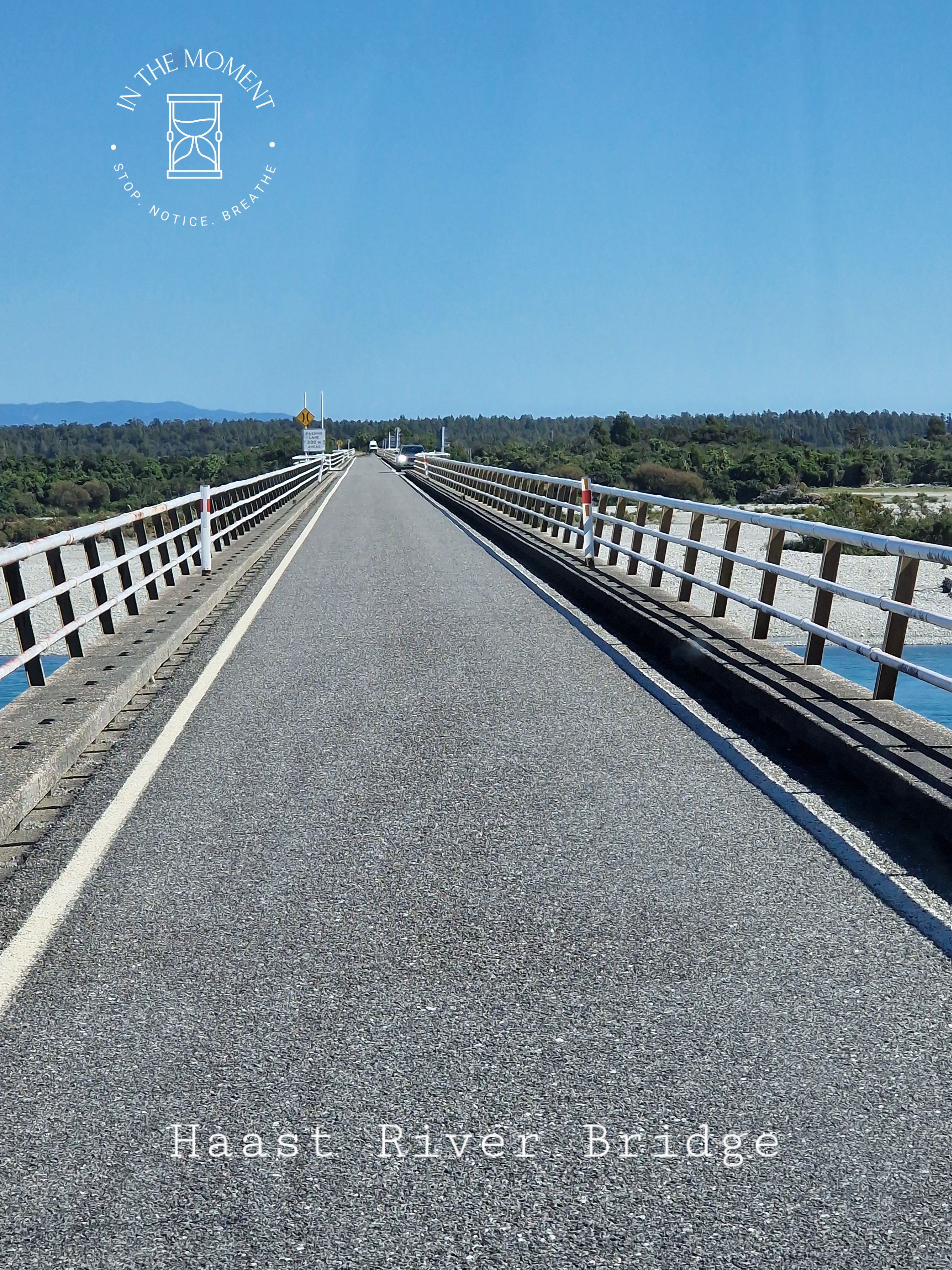
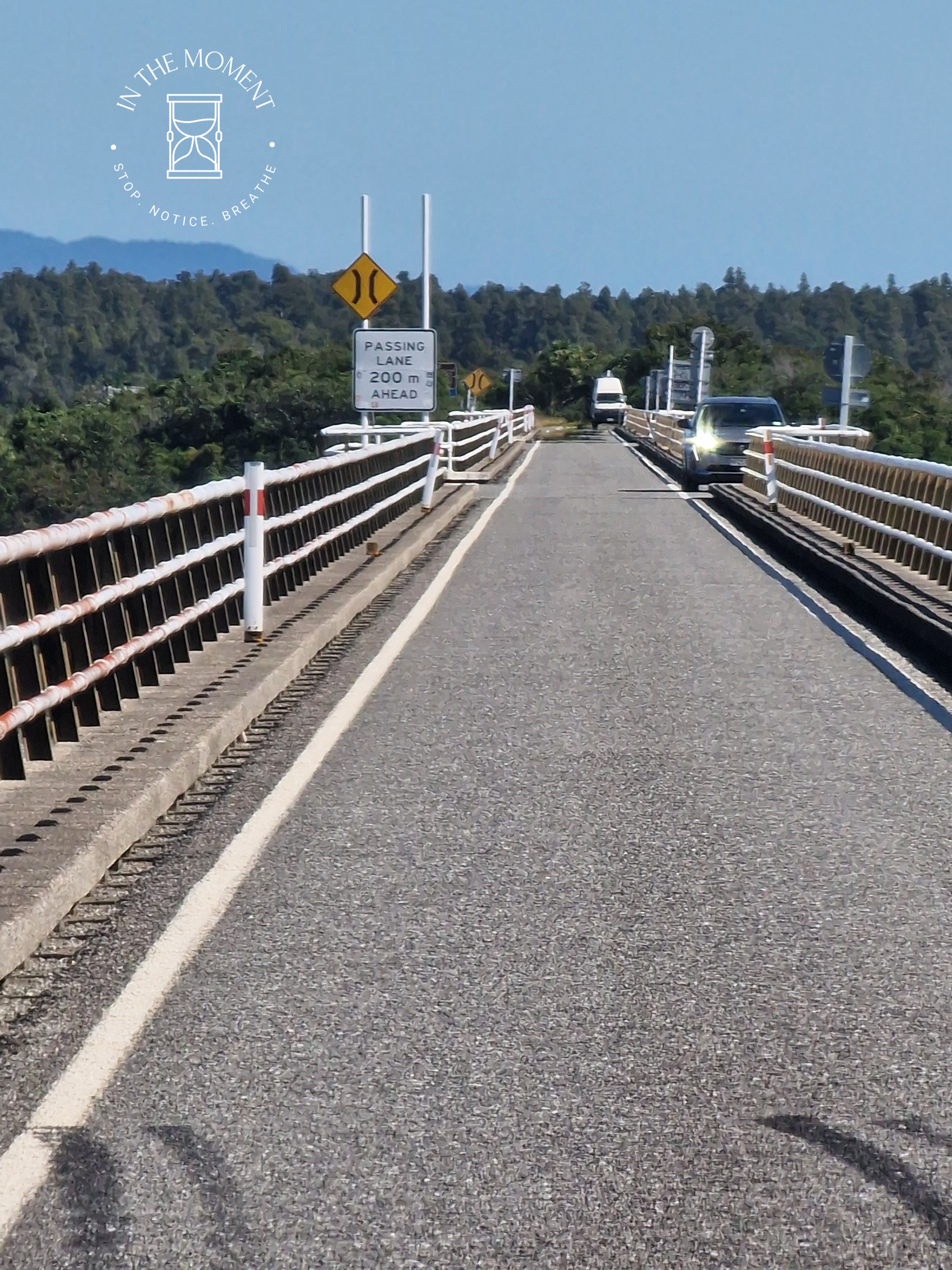
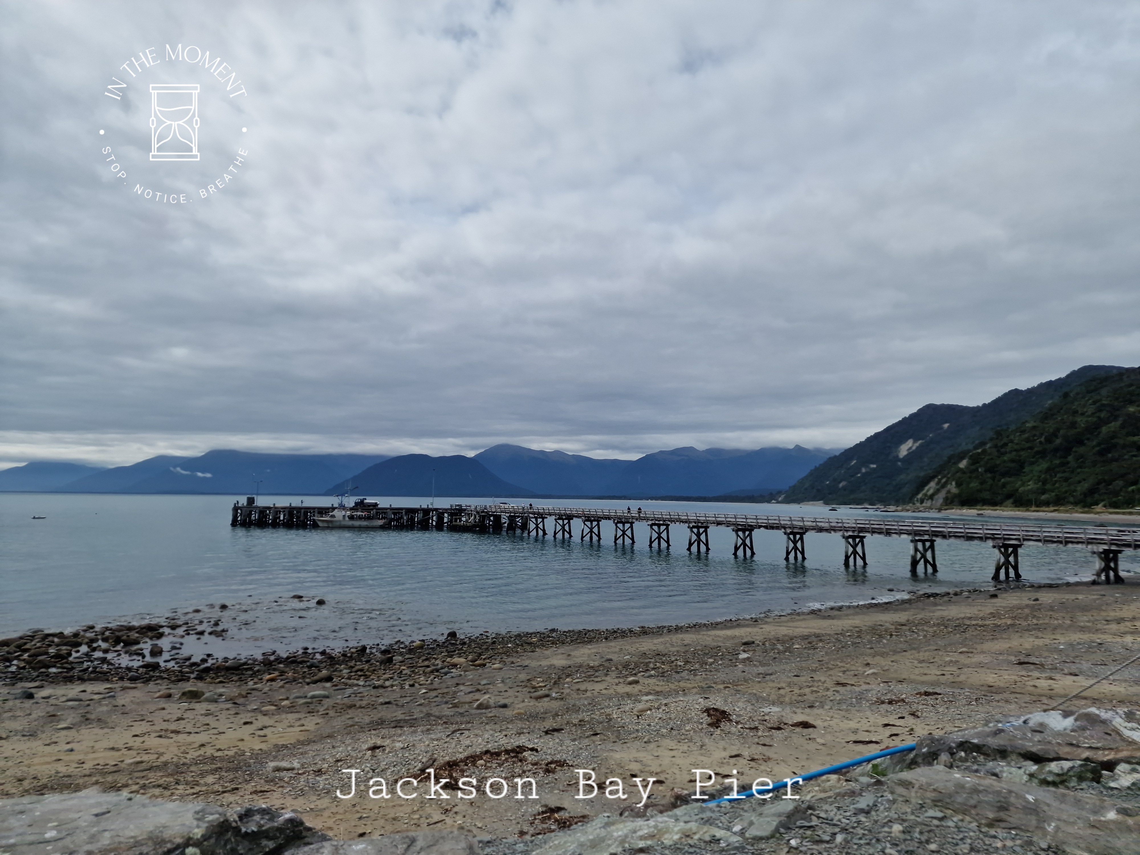
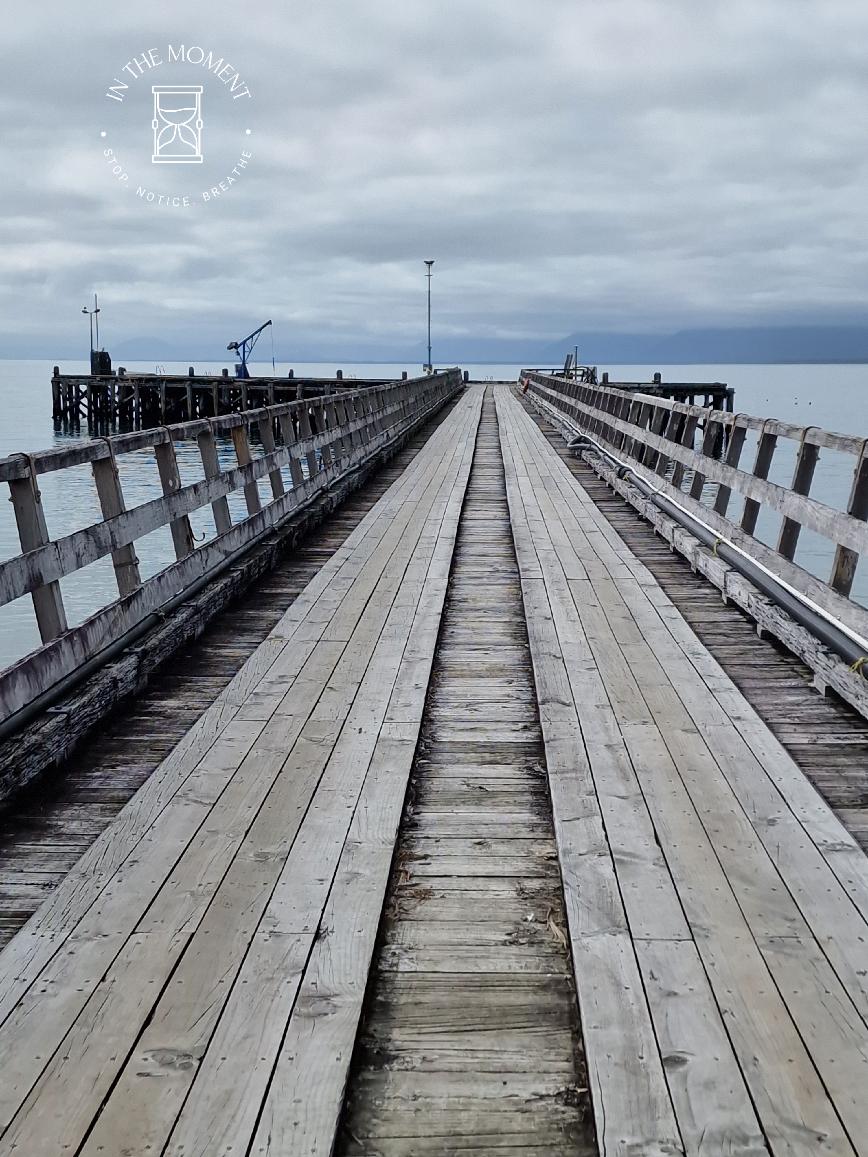
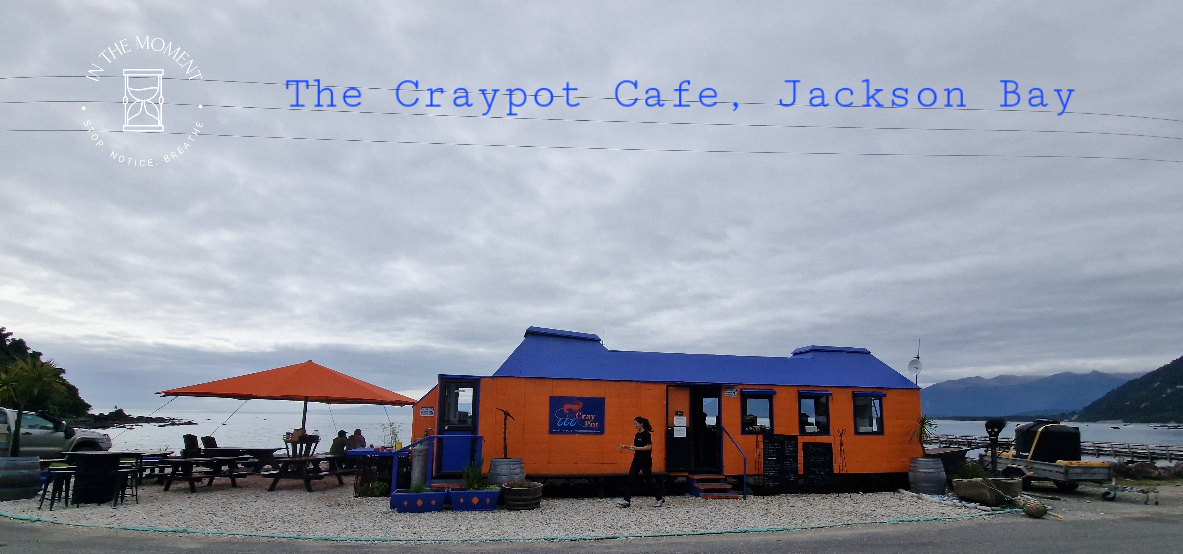
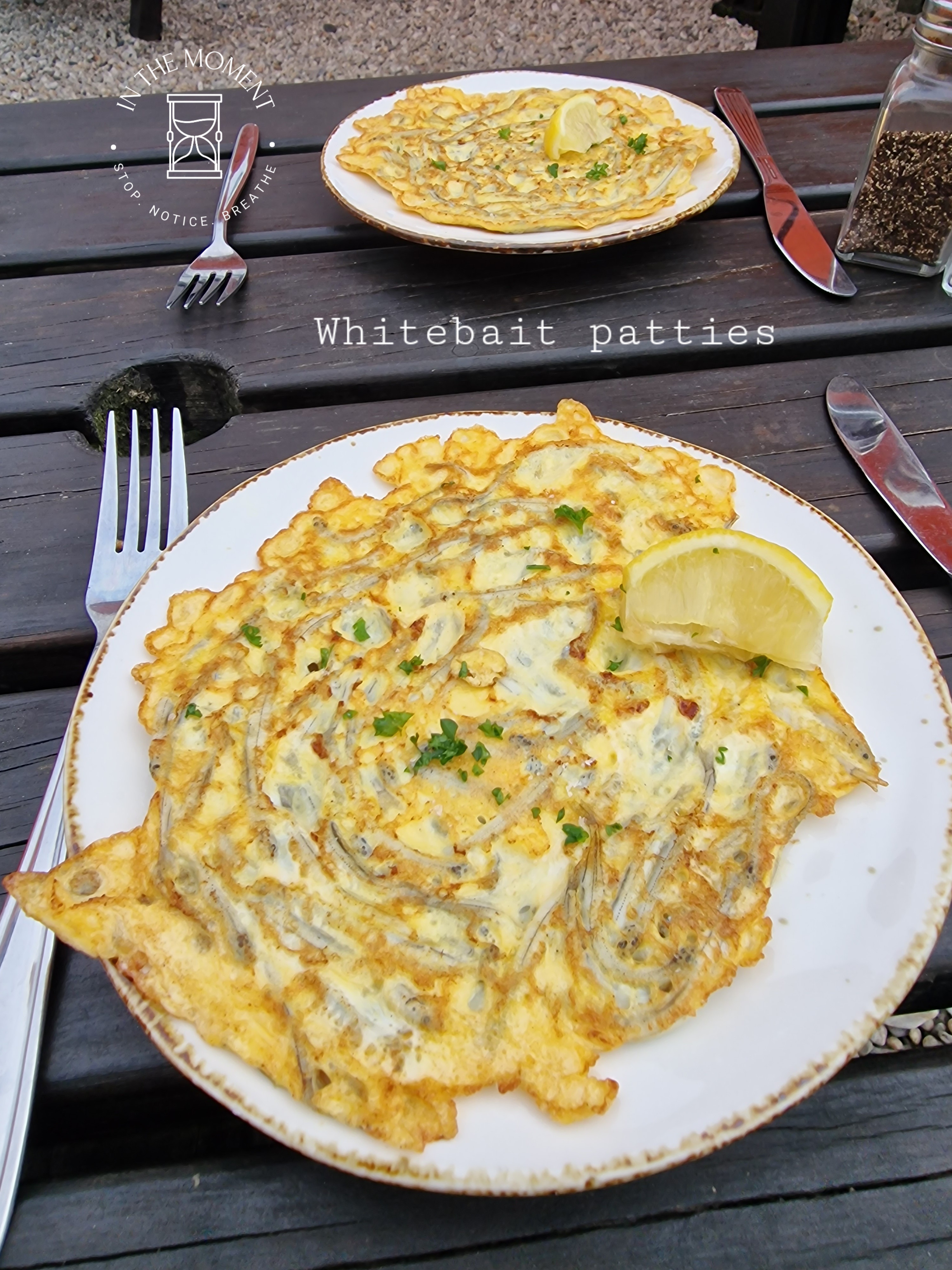
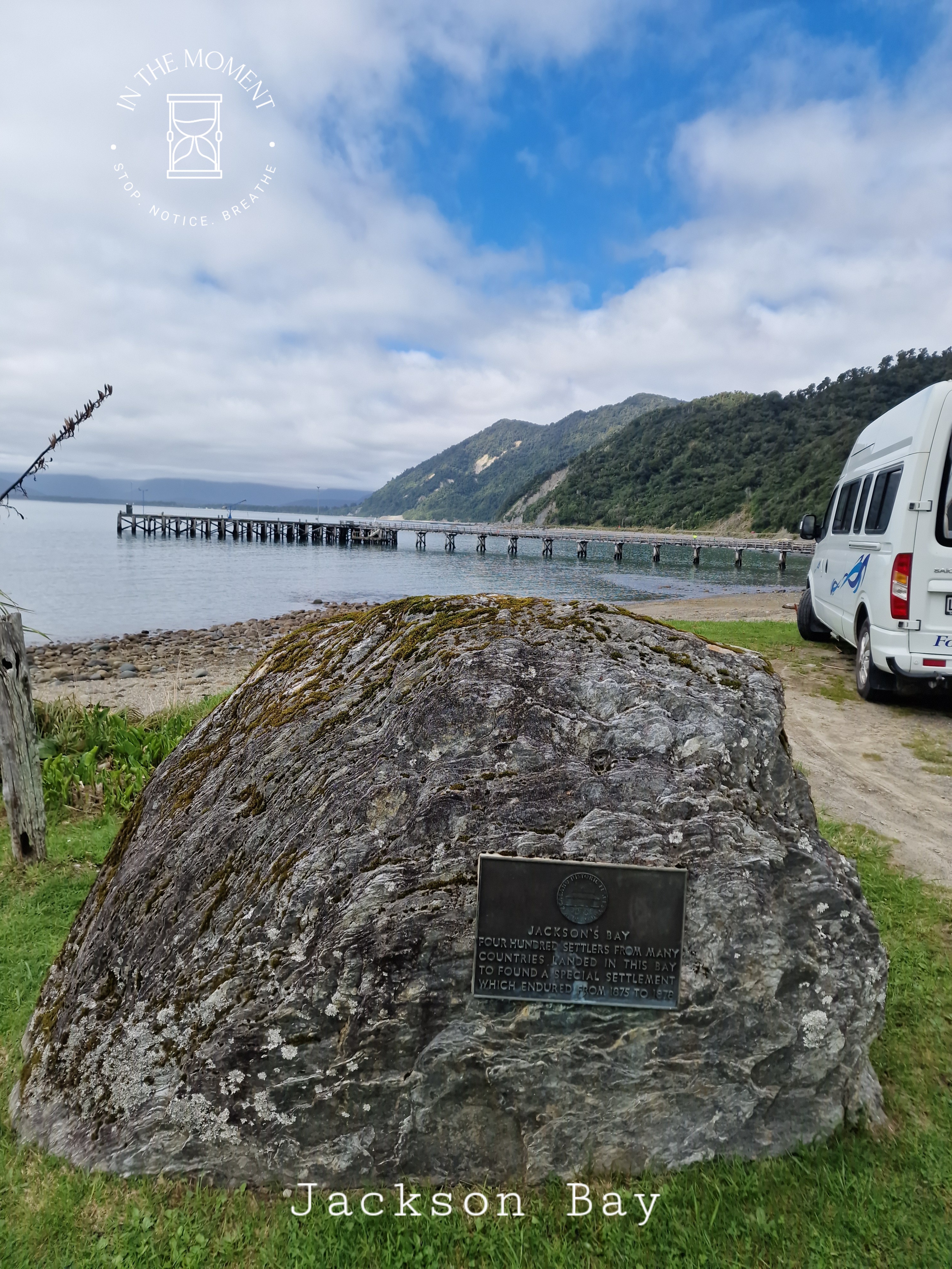
Our last stop in glacier country was Haast. Our memories of Haast from 2014 are filled with rain, torrential rain. Road over the pass closing three cars behind us and a steamy cafe where we stop briefly. This time, we enjoy the drive over New Zealand’s longest single lane bridge before you arrive at the township. We drive to Jackson Bay which is where the road that starts all the way north in Karamea ends. Sandflies here are voracious and relentless. It is a rocky bay with a long pier. There is also a fantastic cafe – https://www.thecraypotnz.com/ where we have seafood chowder for lunch. It was delicious! We take the Wharekai Te Kou Walk in the morning which takes you over a small bluff to a very rocky, driftwood covered beach. We treat ourselves to a whitebait pattie and flat whites on our return from the Craypot.
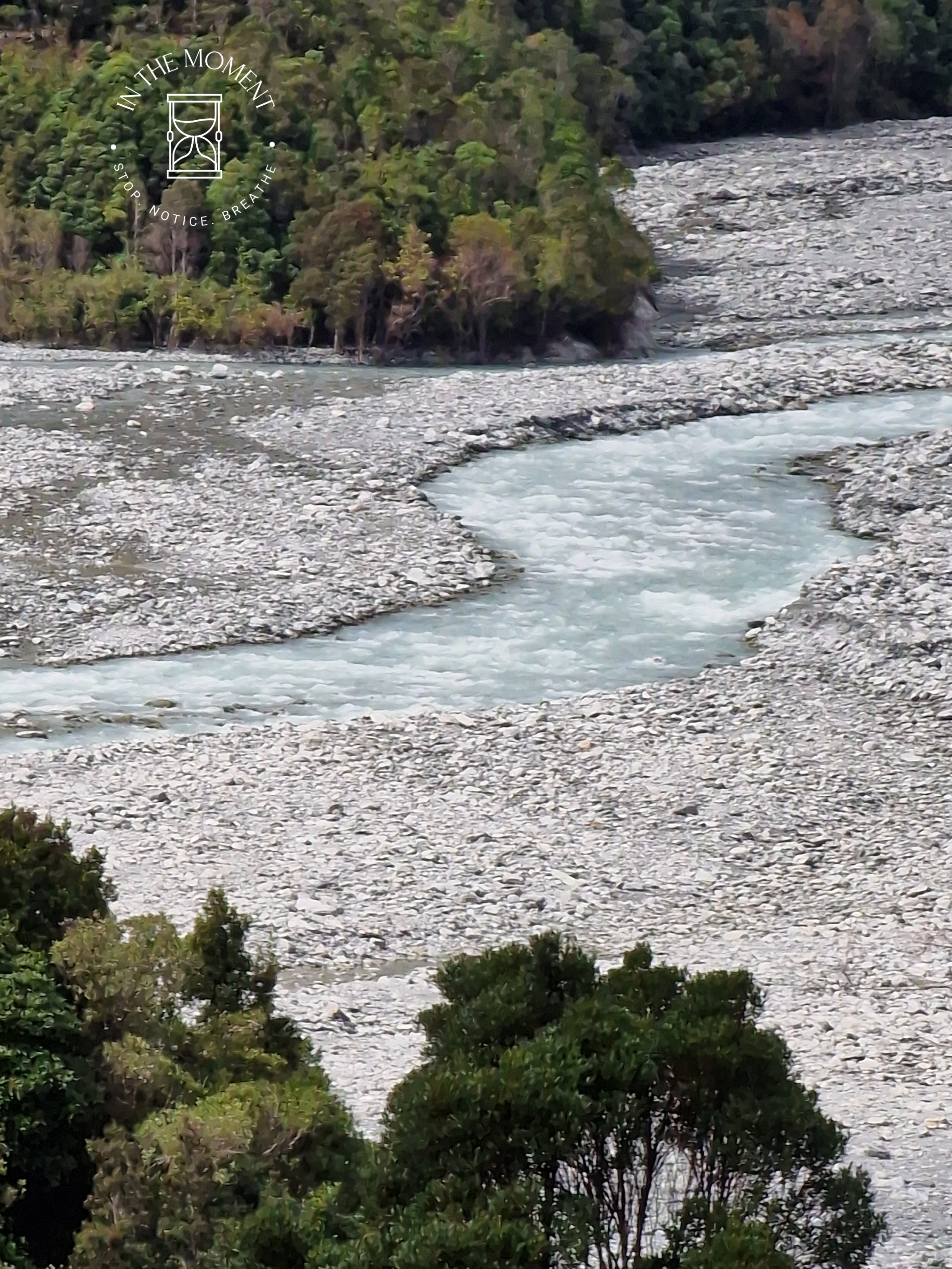
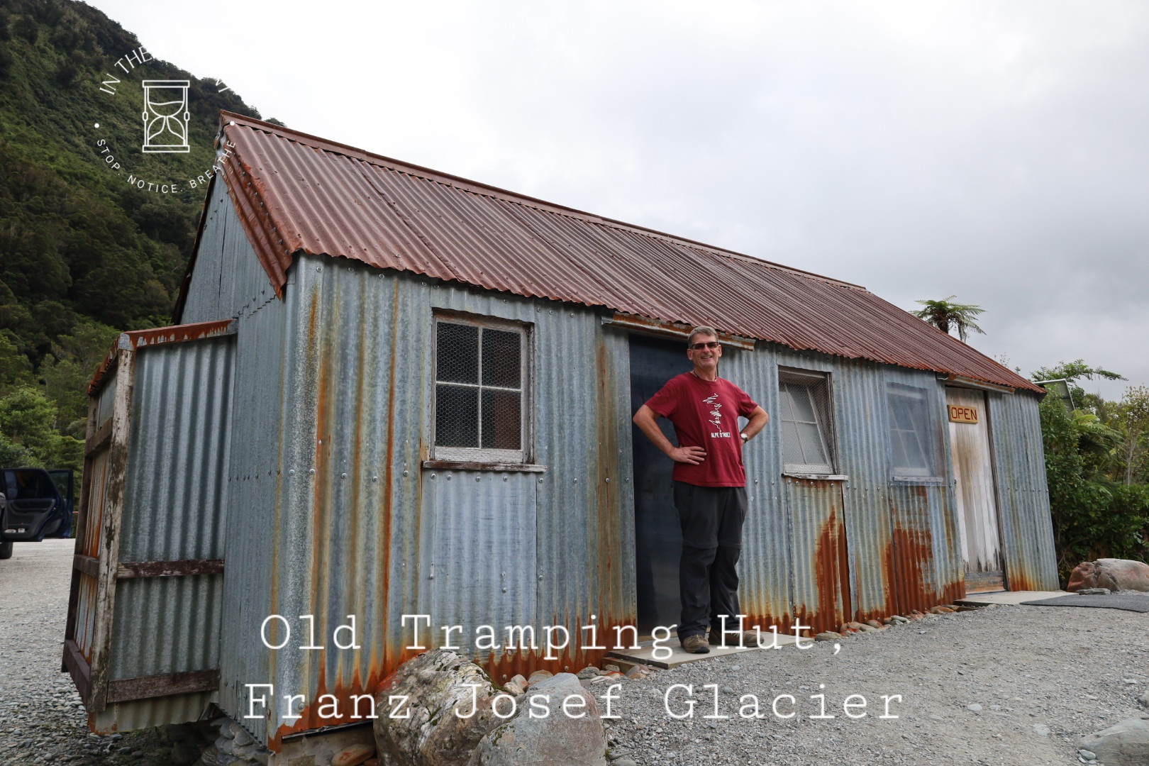
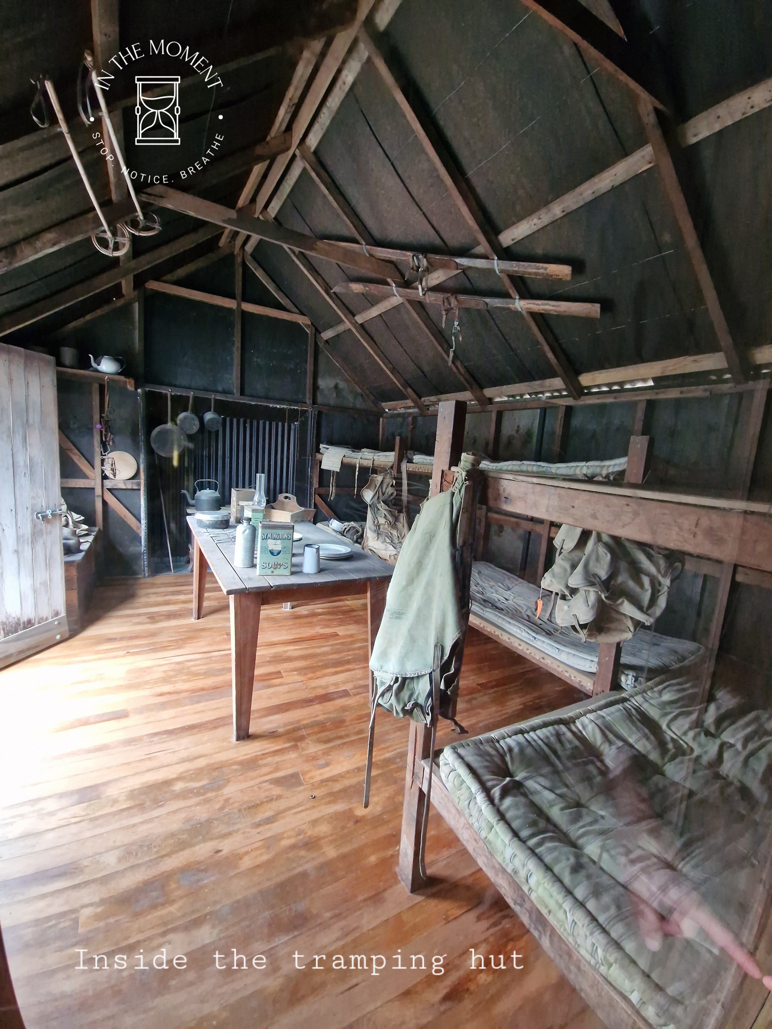
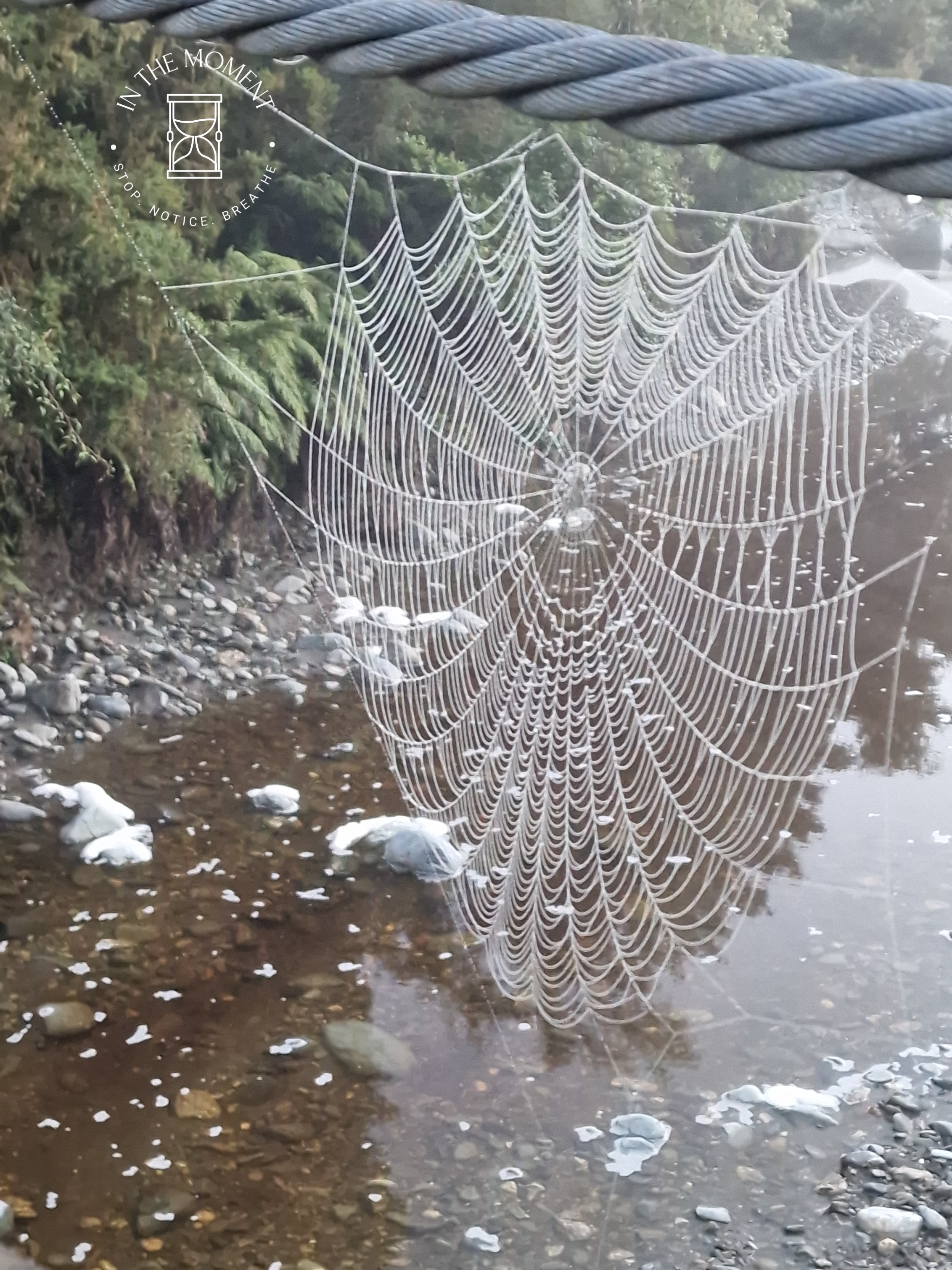
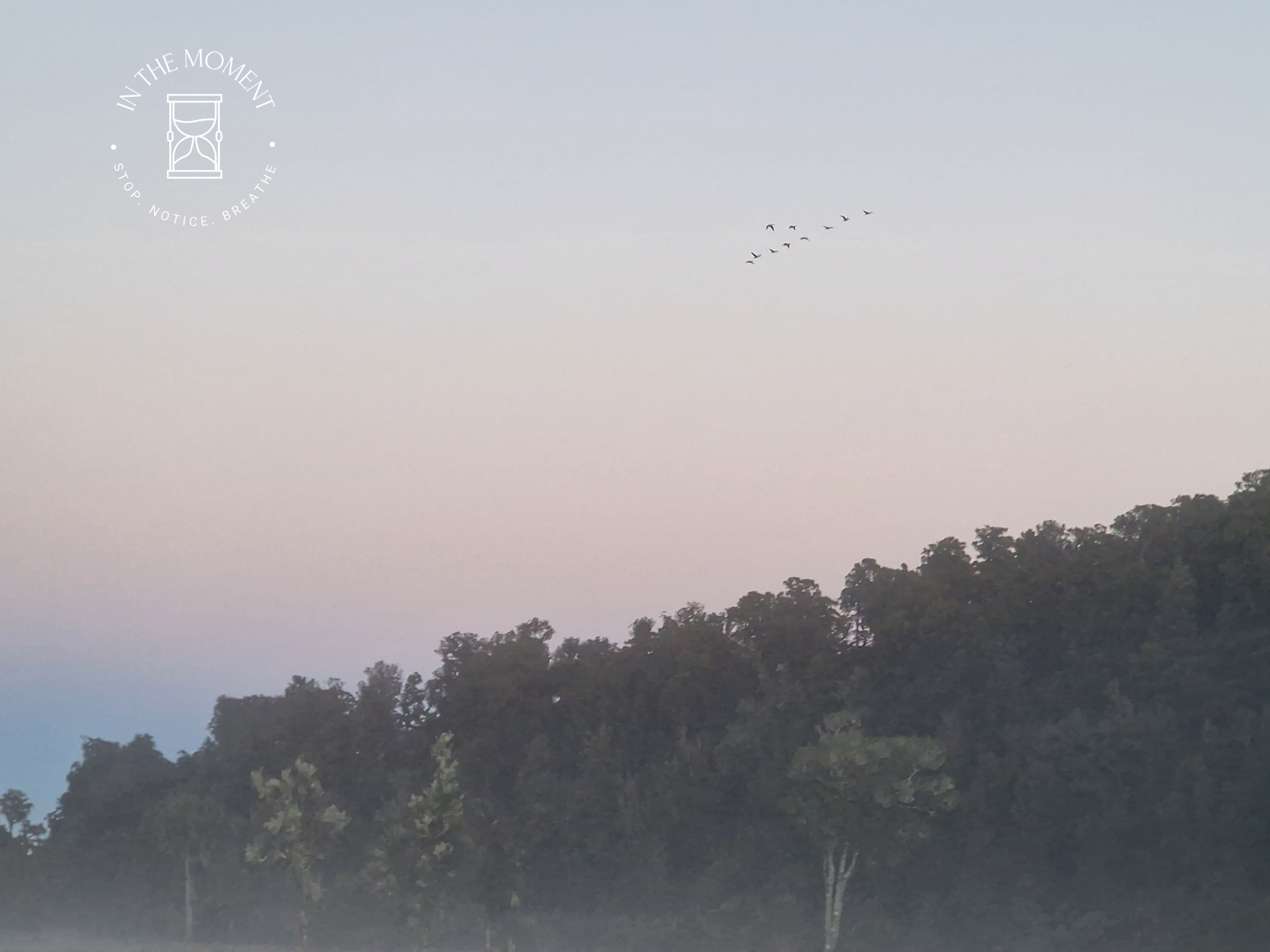
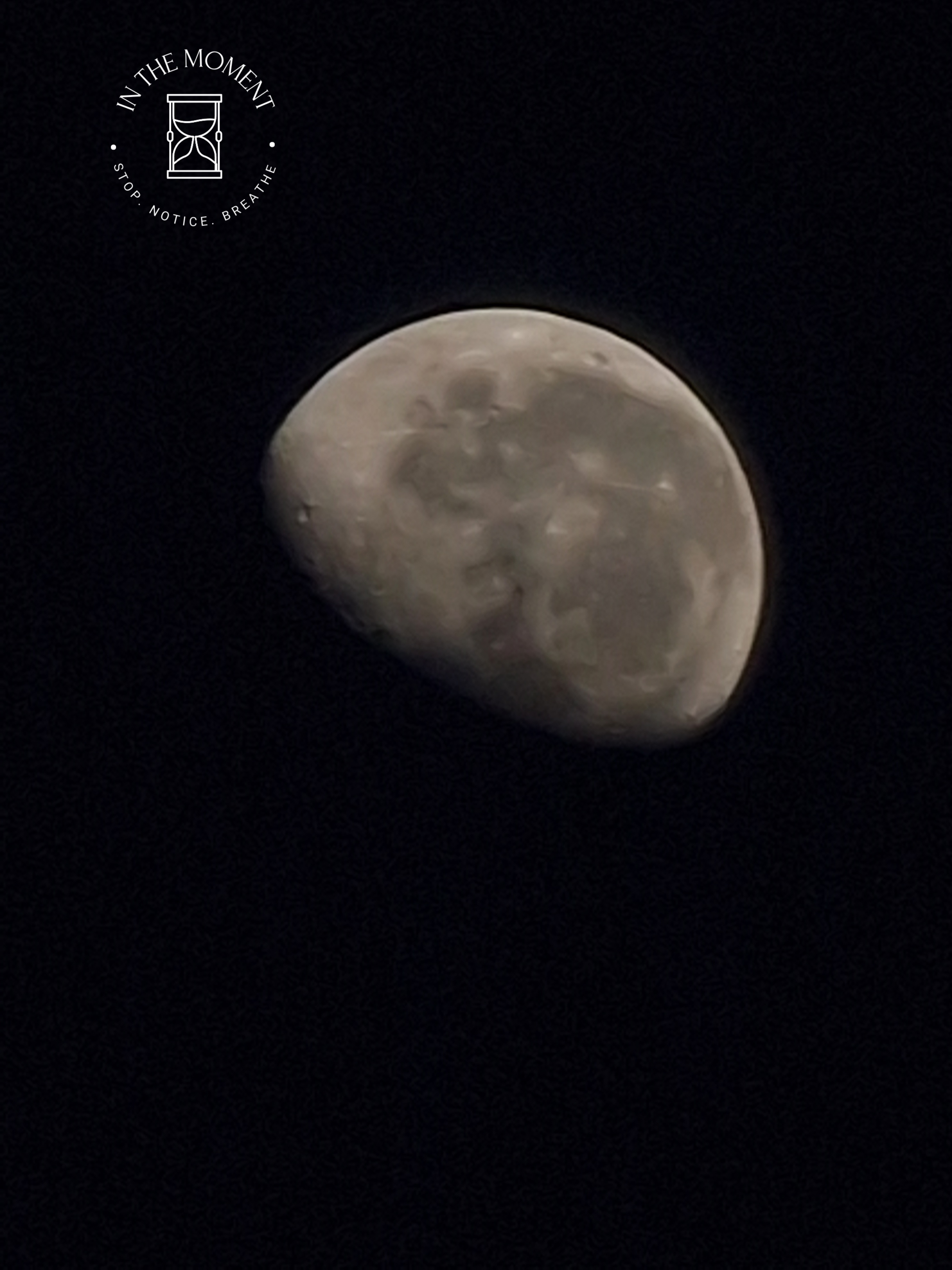
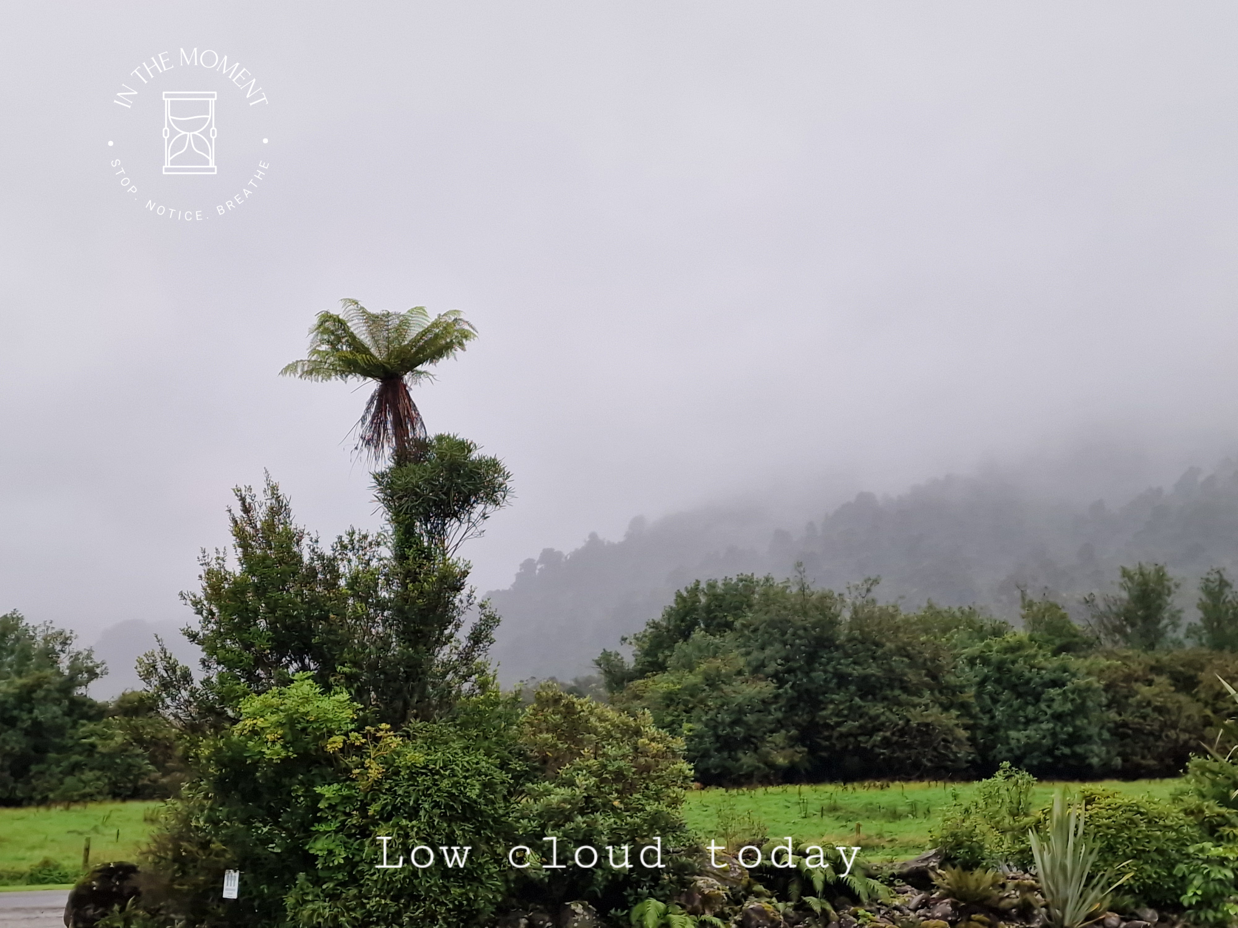
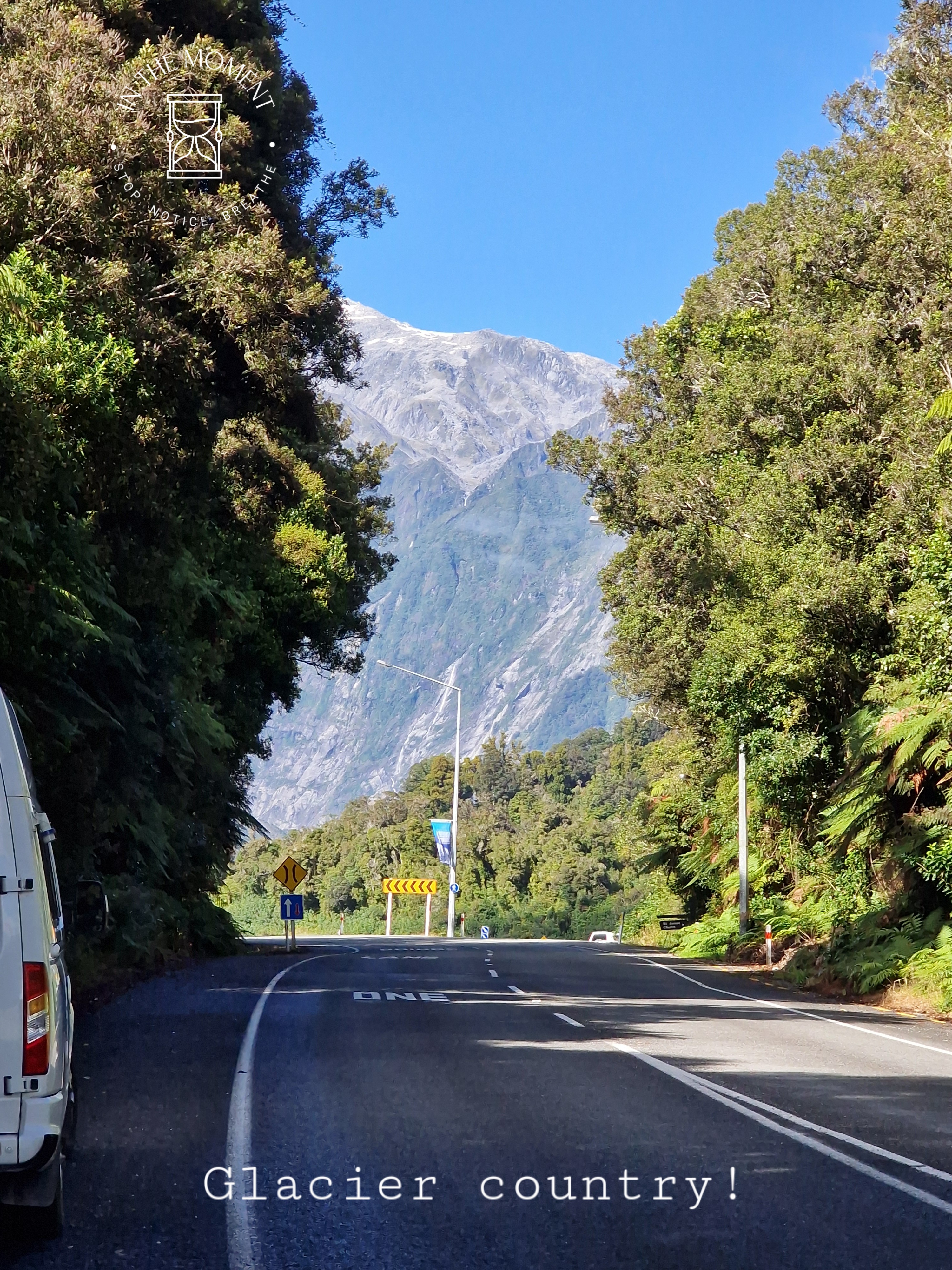
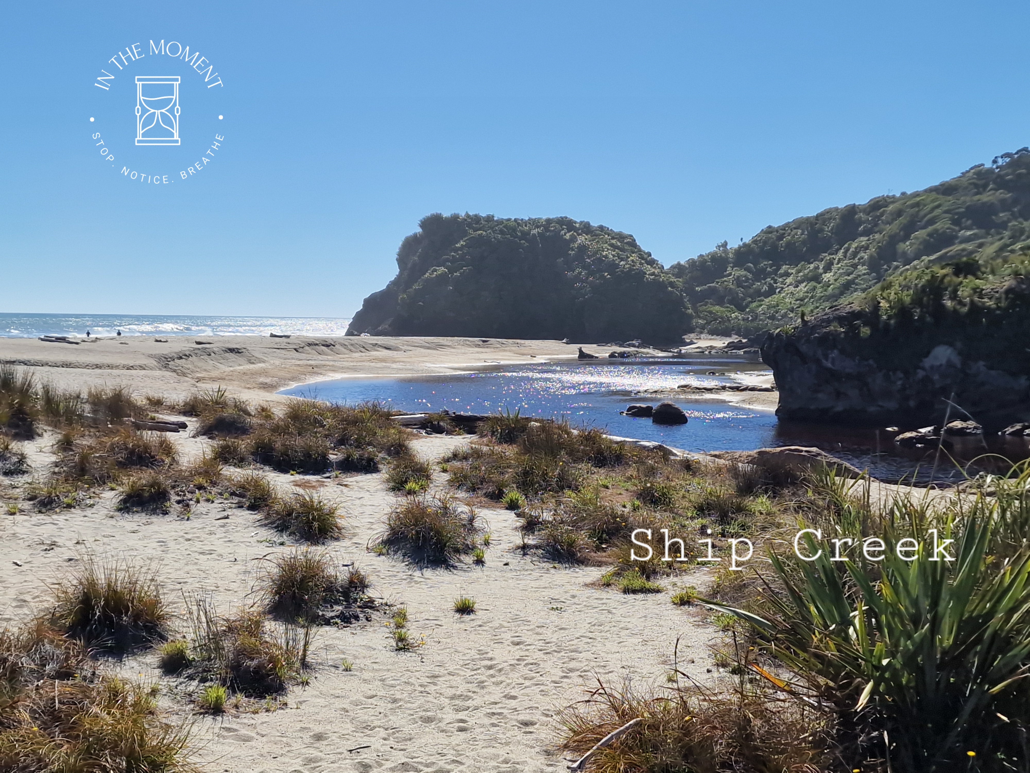
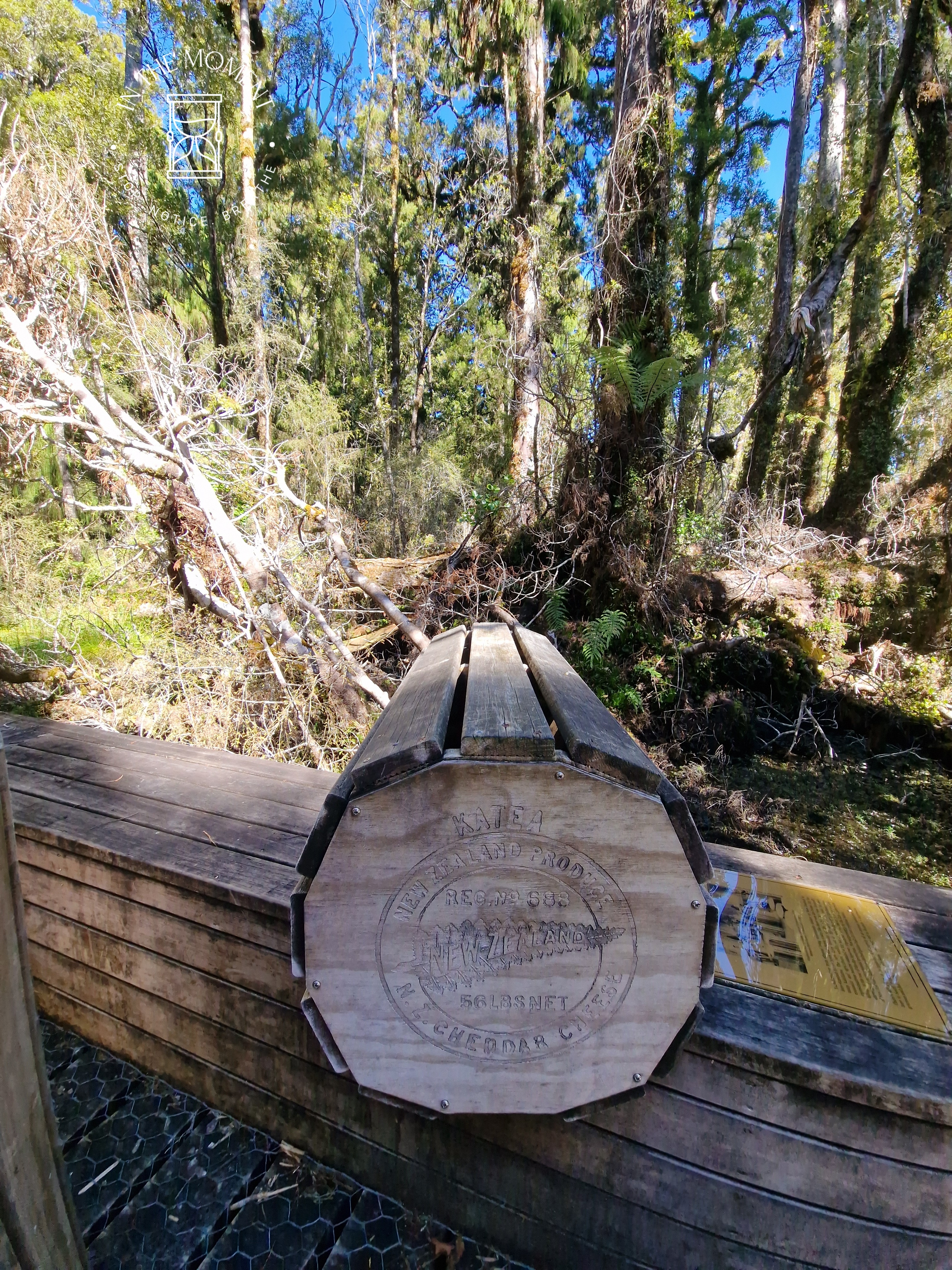
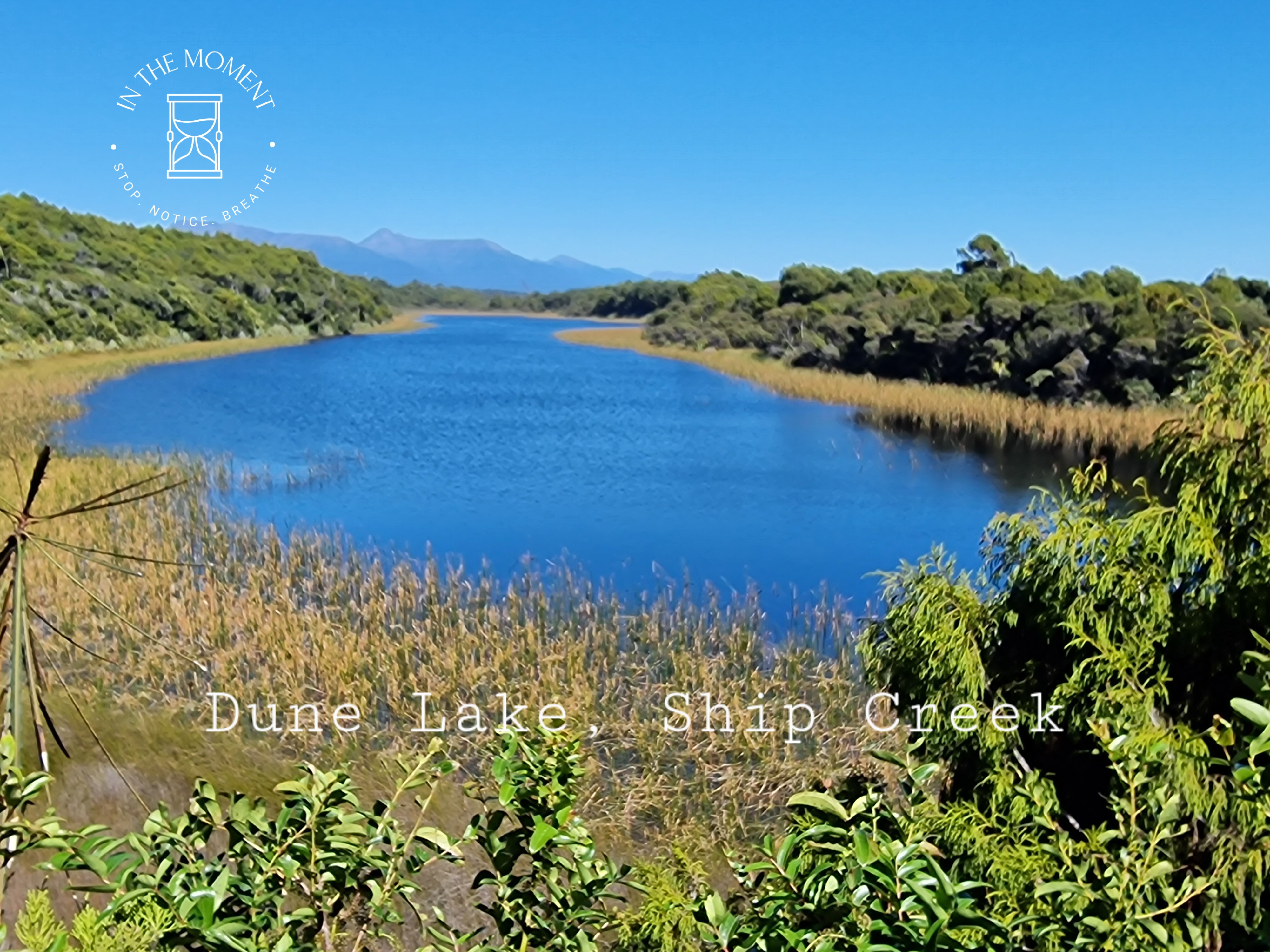
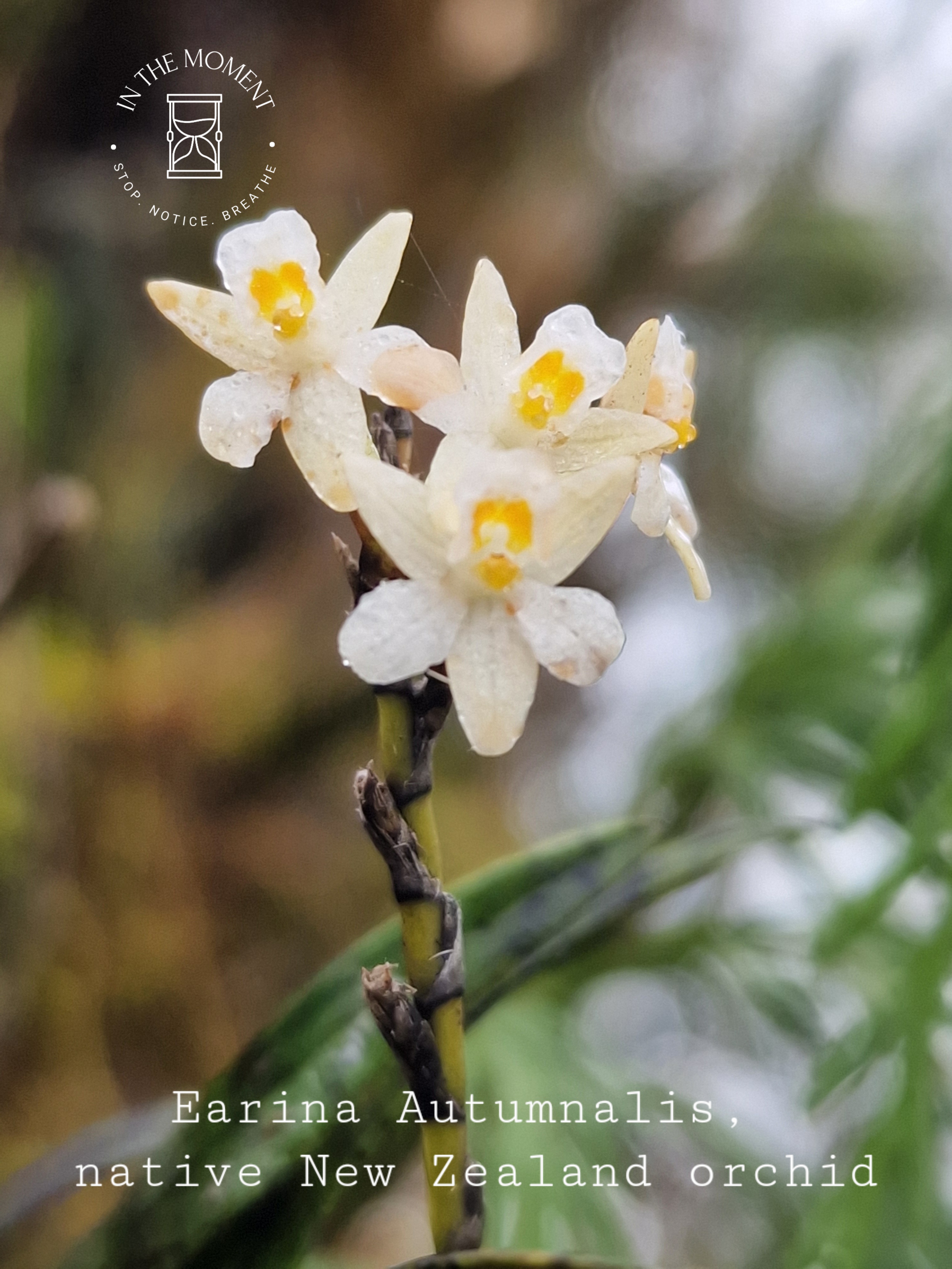
Here are a couple of other images from this section of our trip…

Leave a comment